Smart Itinerary
Kailash-Manasarovar: The Nepal Route
Axis Mundi: Spine of the Universe, The Ultimate Guide to Kailash Manasarovar Yatra via Nepal: Itinerary, Safety, Sacred Geography, and Preparation
 By Spiritual Yatra
20 min read
By Spiritual Yatra
20 min read
Embarking on the pilgrimage to Mount Kailash and Lake Manasarovar is widely considered one of the most transformative, spiritually intense, and physically demanding journeys on Earth. Located high on the desolate Barkha Plain in the Ngari Prefecture of Western Tibet, this remote destination has drawn seekers, saints, and adventurers for thousands of years.
Unlike conventional holiday treks, the Kailash Manasarovar Yatra is an expedition through extreme high-altitude terrain where modern comforts do not exist. To complete this journey safely, travelers must understand the landscape, respect the physiological demands of altitude, and plan their logistics with utmost care.
This comprehensive guide details everything required to navigate the classic overland route from Nepal, including full route options, detailed day-by-day itineraries, health protocols, cultural history, and practical packing strategies.

1. Fast Facts: Kailash-Manasarovar at a Glance
| Feature | Key Specification | Operational / Practical Relevance |
| Location | Barkha Plain, Ngari Prefecture, Western Tibet, China | Extreme remote plateau; no permanent hospital infrastructure nearby. |
| Distance from Kathmandu | Approx. 817 km northwest | Traversed across multiple mountain passes and river valleys. |
| Distance from Lhasa | Approx. 1,338 km west | Alternative air-to-overland approach across Central Tibet. |
| Peak Elevation (Mt. Kailash) | 6,638 m (21,778 ft to 22,027 ft) | Sacred peak; climbing it is forbidden by international consensus. |
| Highest Pass on Parikrama | Dolma La Pass: 5,630 m (18,602 ft) | Crucial acclimatization point; severe weather risk around midday. |
| Lake Manasarovar Elevation | 4,590 m (15,060 ft) | Among the highest freshwater lake systems in the world. |
| Optimal Trip Duration | 23 to 27 Days | Minimizes altitude sickness risk and allows full circumambulations. |
| Common Commercial Shortcut | 12 to 14 Days | High Risk: Inadequate time for red blood cell adaptation. |
| Permit Requirements | Chinese Group Visa, Tibet Travel Permit, Military & Foreign Affairs Permits | Organized travel via registered agencies is mandatory. |
2. The Sacred Geography: The Cosmic Center of Four Faiths
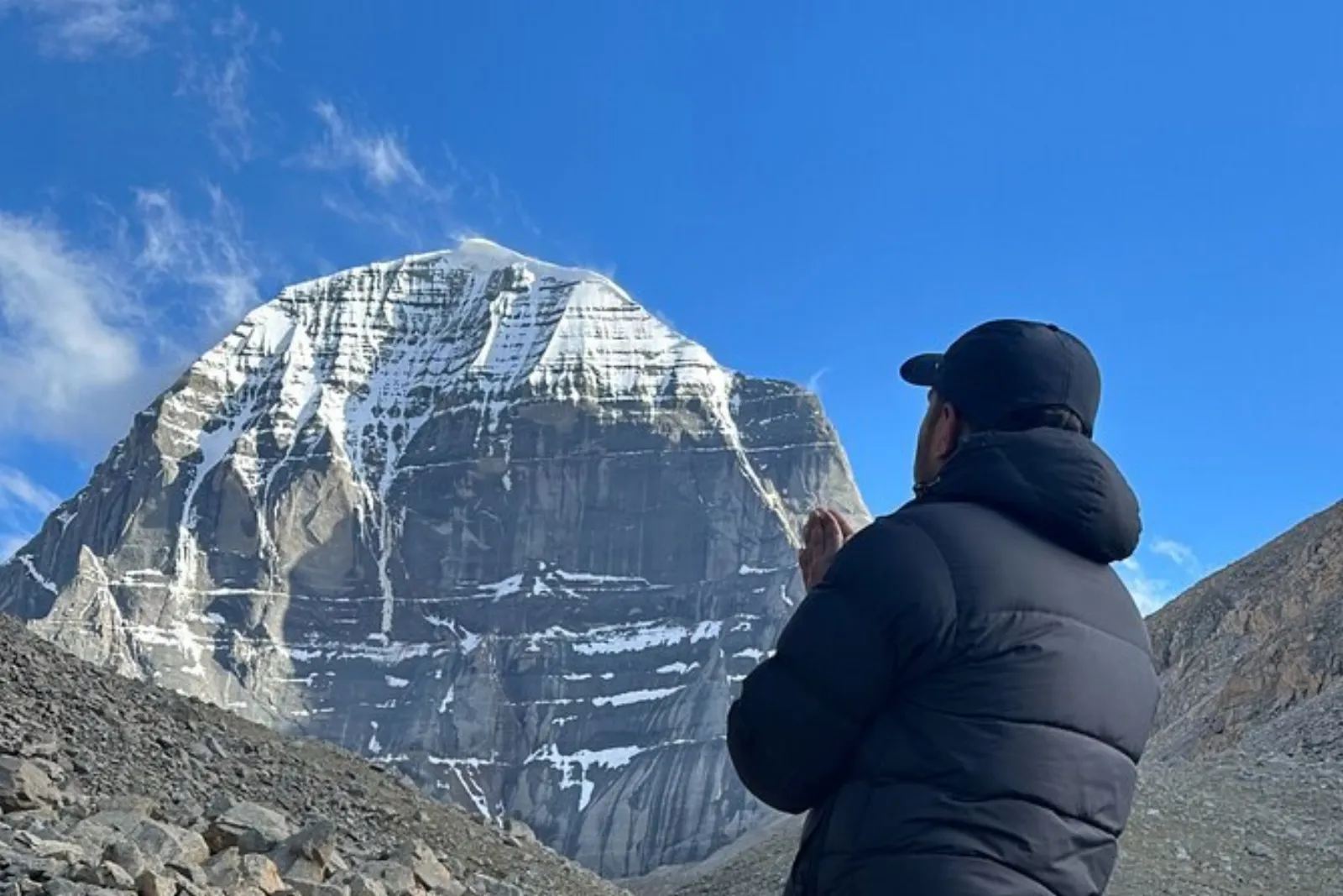
Mount Kailash is not simply a mountain; across centuries of Asian cosmology, it is revered as the Axis Mundi—the physical and energetic pillar connecting heaven and earth, the navel of the universe around which the cosmos revolves.
                  [ MOUNT KAILASH ]
             (Axis Mundi / Kang Rinpoche)
                         |
      +------------------+------------------+
      |                                     |
[ Lake Manasarovar ]               [ Lake Rakshas Tal ]
(Sun / Light / Calm)              (Crescent / Moon / Storm)
      |                                     |
      +---------[ Ganga Chu Channel ]-------+
                 (Ancient dry link)
                         |
      +------------------+------------------+
      |                  |                  |                  |
[ Indus River ]   [ Sutlej River ]   [ Karnali River ]   [ Brahmaputra ]
The Spiritual Traditions
- Hinduism: To Hindus, Kailash is the eternal heavenly abode of Lord Shiva, who sits in perpetual meditation alongside his consort, Goddess Parvati. Circumambulating the peak (parikrama) is believed to wipe away the sins of a lifetime and liberate the soul from the cycle of rebirth.
- Buddhism (Kang Rinpoche): Tibetan Buddhists refer to the peak as Kang Rinpoche ("Precious Jewel of Snow"). It is associated with Demchok (Chakrasamvara), the deity representing supreme bliss, and marks the historic site of spiritual victory by the great yogi Milarepa.
- Jainism (Ashtapada): Jains revere the mountain as Ashtapada, the sacred ground where Rishabhadeva, the first Tirthankara, attained spiritual liberation (moksha).
- Bon Tradition: For followers of Bon, the ancient indigenous faith of Tibet, Kailash is the nine-story Swastika Mountain (Yungdrung Gutseg), the spiritual seat of all inner power and divine descent.
The Duality of the Twin Lakes
South of Kailash lie two dramatic high-altitude lakes that sit side by side, yet present opposite spiritual and environmental characteristics:
- Lake Manasarovar (Mapam Yumtso): Shaped roughly like the sun, Manasarovar represents light, consciousness, and purity. Its waters are remarkably tranquil, shifting between shades of emerald, turquoise, and deep sapphire. Devotees take ritual baths or sips of its glacial waters to cleanse inner negative karma.
- Lake Rakshas Tal (Lhanag Tso): Shaped like a crescent moon, Rakshas Tal represents night, darkness, and dormant elemental power. Associated in Hindu legend with Ravana, the demon king of Lanka who meditated here to win Shiva’s favor, its waters are often choppy, brooding, and devoid of aquatic life.
- The Channel of Ganga Chu: A historical natural waterbed connects Manasarovar to Rakshas Tal. Local lore states that when water flows freely through the Ganga Chu from the lake of light to the lake of darkness, peace and balance flourish across the Tibetan plateau.
3. Major Travel Routes from Nepal
Traveling to Kailash through Nepal is the most popular route for international pilgrims. There are three primary operational approaches:
                          [ KATHMANDU ]
                                |
        +-----------------------+-----------------------+
        |                                               |
[ Land Route: Kodari ]                  [ Air Connection: Nepalgunj ]
        |                                               |
[ Zhangmu Border ]                              [ Simikot Airstrip ]
        |                                               |
[ Nyalam (Acclimatization) ]                    [ Helicopter to Hilsa ]
        |                                               |
[ Saga & Paryang ]                              [ Taklakot (Purang) ]
        |                                               |
        +-----------------------+-----------------------+
                                |
                      [ Barkha Plain ]
                                |
            +-------------------+-------------------+
            |                                       |
[ Lake Manasarovar Kora ]                 [ Mt. Kailash Kora ]
(Hor Qu, Trugo, Chiu)                     (Darchen, Deraphuk, Dolma La)
Route A: The Classic Overland Road Route (via Kodari/Zhangmu)
- Path: Kathmandu $\rightarrow$ Kodari Border $\rightarrow$ Zhangmu $\rightarrow$ Nyalam $\rightarrow$ Saga $\rightarrow$ Paryang $\rightarrow$ Manasarovar / Darchen.
- Advantages: Gradual vehicular ascent across distinct altitude thresholds. It allows reliable carrying capacity for personal luggage, safety equipment, and kitchen logistics.
- Considerations: Landslide vulnerability along the Nepal-China Friendship Highway during summer monsoon rains; border delays for group clearances.
Route B: The Flight + Trek/Helicopter Route (via Simikot & Hilsa)
- Path: Kathmandu $\rightarrow$ Nepalgunj (domestic flight) $\rightarrow$ Simikot (mountain airstrip) $\rightarrow$ Hilsa (foot trek or helicopter) $\rightarrow$ Cross border to Taklakot (Purang) $\rightarrow$ Barkha Plain.
- Advantages: Shorter driving distance on the Tibetan plateau; avoids the central Nepal road corridors.
- Considerations: Heavily dependent on mountain weather. Morning fog or high winds in Simikot frequently strand travelers for days, disrupting tightly coordinated Tibet entry permits.
Route C: Fly into Lhasa, Overland to Kailash
- Path: Kathmandu $\rightarrow$ Fly to Lhasa (Gonggar Airport) $\rightarrow$ Drive via Gyantse, Shigatse, and Saga $\rightarrow$ Barkha Plain.
- Advantages: Excellent cultural exposure to Central Tibet (Potala Palace, Jokhang Temple, Tashilhunpo Monastery) with superior initial hotel amenities.
- Considerations: Significantly higher baseline costs due to internal flights and longer logistics chains.
4. The 25-Day Ideal Overland Itinerary
Most budget agencies attempt to condense this journey into 12 to 16 days. For safety and complete spiritual fulfillment, an itinerary of 23 to 27 days is strongly recommended.
This full schedule includes both the complete circumambulation of Lake Manasarovar (5 to 7 days) and a safe, well-paced kora of Mount Kailash (4 to 5 days), complete with mandatory acclimatization stops.
Days 01-03: Kathmandu Prep & Transit to Zhangmu (Border)
Days 04-05: Critical Acclimatization at Nyalam (12,300 ft)
Days 06-08: Traversing the Plateau: Saga to Paryang to Lake Manasarovar
Days 09-13: Full Lake Manasarovar Parikrama (Trugo, Zaidi, Chiu Gompa)
Days 14-19: Mount Kailash Parikrama (Darchen, Deraphuk, Dolma La, Zutulphuk)
Days 20-25: Exploration of Inner Kora Periphery & Return Journey to Kathmandu
Phase 1: Arrival, Preparation, and Border Crossing
Day 1: Arrival in Kathmandu (1,400 m / 4,593 ft)
- Logistics: Arrive at Tribhuvan International Airport; transfer to hotel.
- Tasks: Meet your tour operator for visa processing and group passport endorsements. Attend an evening briefing on high-altitude medical safety.
Day 2: Equipment Inspection & Cultural Preparation in Kathmandu
- Logistics: Rest day in the Kathmandu Valley.
- Tasks: Visit Thamel to purchase missing cold-weather gear, down jackets, sturdy trekking boots, water bladders, and altitude medications. Ensure you have sufficient cash converted into US Dollars or Chinese Yuan.
Day 3: Drive from Kathmandu to Kodari and Zhangmu (2,300 m / 7,546 ft)
- Distance: Approx. 81 km north-east (4–6 hours driving).
- Route: Drive through the lush gorges along the Bhote Kosi River. Roads wind past terraced hillsides, waterfalls, and steep cliffs.
- Border Crossings: Arrive at the Friendship Bridge at Kodari. Clear Nepal immigration, cross the border, clear Chinese customs and health checks, and meet your official Tibetan guide and transport.
- Night Stop: Zhangmu, a vertical border town built directly into the mountain face.
Phase 2: Ascending the Great Plateau & Acclimatization
Day 4: Zhangmu to Nyalam (3,750 m / 12,303 ft)
- Distance: 35 km (approx. 2 hours).
- The Ascent: The elevation jumps dramatically by almost 5,000 feet in just 35 kilometers. The lush river gorge gives way to rockier, colder mountain walls with cascading waterfalls.
- Safety Rule: Do not push past Nyalam on this day. The body must begin the biological process of adjusting to thinner air. Check in at a local guest house.
Day 5: Mandatory Rest & Acclimatization Day at Nyalam
- Elevation: 3,750 m (12,303 ft).
- Activities: Light day hikes into the surrounding hills with a packed lunch. Walk slowly, hydrate regularly, and avoid sleeping during the middle of the day.
- Cultural Excursion: Visit the nearby Milarepa Cave, where the venerable 11th-century Tibetan poet-saint spent years in solitary meditation.
Day 6: Nyalam to Saga (4,600 m / 15,092 ft) via Lalung La
- Distance: Approx. 285 km (7–9 hours).
- The Plateau Transition: Ascend through the high mountain pass of Lalung La (or Nyalam Tho) at 5,200 m (17,060 ft). On clear mornings, you will see sweeping vistas of the Himalayas, including Mount Shishapangma (8,027 m), the only 8,000-meter peak situated entirely within Tibet.
- En Route: Drive past the vivid turquoise waters of Lake Peiku Tso. Traverse the wide expanses of the Tibetan plateau, crossing the Yarlung Tsangpo (Brahmaputra River) via modern bridge infrastructure into Saga.
Nyalam (12,303 ft) ----[ Ascend Lalung La: 17,060 ft ]----> Peiku Tso Lake ----> Saga (15,092 ft)
Day 7: Saga to Paryang (4,750 m / 15,584 ft)
- Distance: Approx. 270 km (7–8 hours).
- Terrain: Drive across wide, undulating river valleys alongside the Yarlung Tsangpo. The scenery alternates between sweeping grasslands, grazing domestic yaks, and unexpected rolling sand dunes positioned against snowcapped peaks.
- Night Stop: Paryang, a small settlement of simple guesthouses and nomadic supply stores. Nights here are bitterly cold and windy.
Day 8: Paryang to Lake Manasarovar at Hor Qu (4,590 m / 15,060 ft)
- Distance: Approx. 300 km (8–9 hours).
- The Ascent: Cross the high Mayum La Pass (5,210 m / 17,093 ft), which serves as the geographic boundary into the Ngari Prefecture. Descend onto the vast Barkha Plain.
- First Darshan: As you clear the pass, the horizon opens up: the towering massif of Gurla Mandhata (7,694 m) looms to the south, the deep blue mirror of Lake Manasarovar expands below, and the pyramid peak of Mount Kailash becomes visible to the north.
- Night Stop: Hor Qu (Hore), a small settlement on the northeastern shore of Lake Manasarovar.
Phase 3: The Complete Circumambulation of Lake Manasarovar
Completing the full walking parikrama of Lake Manasarovar takes 5 to 7 days, covering roughly 85 to 90 km of lake perimeter. This builds the aerobic endurance and altitude adaptation required for the Mount Kailash trek.
[Hor Qu (Start)] ---> [Trugo Gompa] ---> [Zaidi] ---> [Chiu Gompa (Rest)] ---> [Lagna Gompa] ---> [Darchen]
Day 9: Manasarovar Parikrama — Hor Qu to Trugo Gompa (4,625 m / 15,174 ft)
- Trek Distance: 23 km (approx. 9–11 hours).
- Path: Walk along the eastern edge of the lake on soft sand and gravel banks. The walking is physically demanding because the feet sink into the loose terrain.
- Scenery: Marvel at migratory waterfowl, Tibetan wild asses (kiang), and water lapping against the shore like an inland ocean.
- Camp/Stay: Near Trugo Gompa, an ancient, well-maintained monastery perched directly at the southern edge of the lake, right beneath Gurla Mandhata.
Day 10: Manasarovar Parikrama — Trugo Gompa to Zaidi (4,500 m / 14,764 ft)
- Trek Distance: 23 km (approx. 8–10 hours).
- Path: Continue clockwise past Gossul Gompa, set high upon wind-swept rocks. Monks historically used caves here for winter retreats.
- Experience: The lake water along this western stretch is exceptionally clear. Take time for prayers, meditation, or ritual holy water collection.
Day 11: Manasarovar Parikrama — Zaidi to Chiu Gompa (4,588 m / 15,052 ft)
- Trek Distance: 8 km (approx. 4–5 hours).
- Arrival: A shorter walking day bringing yatris to the famous Chiu Gompa ("Little Bird Monastery"), dramatically constructed upon a craggy cliff overlooking the lake.
- Sights: Explore the monastery shrines, look out across the dried Ganga Chu channel, and view the local natural hot springs.
Day 12: Rest & Contemplation Day at Chiu Gompa
- Rest Routine: A designated recovery day. Rehydrate, air out sleeping bags, clean gear, and relax tired leg muscles.
- Panoramic Views: Climb the short trail behind the monastery to catch a rare vantage point where Lake Manasarovar, the distant turquoise waters of Rakshas Tal, and Mount Kailash can all be seen simultaneously.
Day 13: Chiu Gompa to Lagna Gompa and Transfer to Darchen
- Trek Distance: 12 km walk to Lagna Gompa; 40-minute drive to Darchen (4,675 m / 15,338 ft).
- Conclusion of Lake Kora: Finish the final leg of the lake walk. Board support vehicles for the short drive north across the Barkha Plain to Darchen.
- Base Camp: Darchen serves as the central staging ground, market hub, and administrative checkpoint for all Kailash parikramas.
Phase 4: The Sacred Mount Kailash Parikrama (The Kora)
The Kailash Kora covers approximately 52 km of rocky trails, glacier crossings, and high passes.
                 [ DOLMA LA PASS ] (5,630 m / 18,602 ft)
                        /      \
                       /        \ (Steep descent past Gauri Kund)
                      /          \
        [ Deraphuk Gompa ]       [ Lasa Mindu / Zutulphuk ]
       (North Face Darshan)               |
              /                           |
             /                            |
    [ Yamadwar / Tarpoche ]               |
            |                             |
            +------------ [ DARCHEN ] ----+
                       (Base / Finish)
Day 14: Rest, Logistics, and Acclimatization in Darchen (4,675 m / 15,338 ft)
- Tasks: Register travel permits with local security checkpoints. Finalize yak and porter allocations for personal daypacks. Rest thoroughly ahead of the mountain circuit.
Day 15: Kailash Parikrama Day 1 — Darchen to Tarpoche and Deraphuk (5,180 m / 17,000 ft)
- Trek Distance: Approx. 18–20 km total (or 12 km if driving to Yamadwar/Tarpoche).
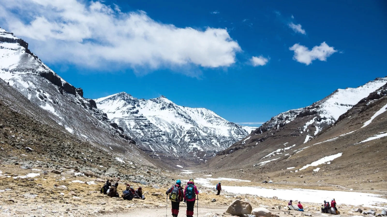
- The Route: Pass the sacred flagpole at Tarpoche, draped in thousands of colorful prayer flags. Enter the sweeping Lha Chu canyon.
- The Darshan: As you turn northward, the striking Western Face of Mount Kailash reveals itself, followed later by the massive, perpendicular wall of the Northern Face.
- Camp: Stay at local monastery guesthouses or camp in the shadow of Deraphuk Gompa, directly across from the dramatic North Face.
Day 16: Acclimatization Exploration at Deraphuk (Optional Glacier Walk)
- Purpose: While standard tours rush past, spending an extra day at Deraphuk lets yatris safely adjust to the 17,000-foot ceiling before tackling the high pass.
- Activity: Walk slowly toward the foot of the glacier beneath the towering north rock face. Spend quiet moments meditating in full view of the amphitheater of stone and ice.
Day 17: Kailash Parikrama Day 2 — Deraphuk over Dolma La Pass to Lasa Mindu / Zutulphuk
- Highest Point: Dolma La Pass (5,630 m / 18,602 ft).
- Trek Distance: 18–22 km (approx. 9–12 hours).
- The Climb: Wake at 4:00 AM in freezing conditions. The climb to Dolma La is steep, rocky, and requires slow, measured steps with deep breathing.
- Shiva Sthal: Pass this revered spot where pilgrims leave behind small items—a scrap of clothing, a lock of hair, or a stone—to symbolize dropping old karmic burdens and preparing for spiritual rebirth.
- Dolma La Summit: Marked by prayer flags fluttering in the freezing wind. Yatris celebrate completing the toughest climb of the yatra.
- Gauri Kund: Descending from the pass, look down onto Gauri Kund (The Lake of Compassion), a small emerald-green body of water cradled between jagged ice fields.
- Descent: The trail down is steep and slick with scree and loose rock. Trek down into the valley floor, resting at the meadows of Lasa Mindu or pushing forward to the guesthouses at Zutulphuk.
Day 18: Kailash Parikrama Day 3 — Zutulphuk to Darchen
- Trek Distance: 11–14 km (approx. 4–5 hours).
- The Trail: Follow the gentle gradient of the Zhong Chu river gorge. The trail widens as it approaches the flat expanse of the Barkha Plain.
- Completion: Arrive back in Darchen around early afternoon. The official mountain circumambulation is complete. Rest, enjoy a hot meal, and recharge.
Phase 5: Ashtapada Exploration & Return Journey
Day 19: Excursion to Ashtapada (Periphery of the Inner Kora) & Drive to Hor Qu
- Excursion: Take an early morning walk or short vehicle drive to the base of Ashtapada (subject to local permit regulations) to view the South Face of Mount Kailash and its rock formations.
- Transfer: Drive back to the eastern edge of Lake Manasarovar (Hor Qu) for a quiet final evening by the water.
Day 20: Hor Qu to Paryang
- Distance: Approx. 300 km (7–8 hours).
- Route: Retrace the driving route eastward over Mayum La Pass, descending into Paryang.
Day 21: Paryang to Saga
- Distance: Approx. 270 km (7 hours).
- Experience: Follow the broad river paths back through the central Tibetan plateau to Saga.
Day 22: Saga to Zhangmu / Nyalam
- Distance: Approx. 320 km (8–9 hours).
- Descent: Leave the dry Tibetan high plains behind, recrossing Lalung La. As you descend toward Nyalam and Zhangmu, the air becomes visibly thicker, richer in oxygen, and greener.
Day 23: Zhangmu to Border Crossing and Kathmandu
- Distance: Approx. 85 km overland drive.
- Logistics: Clear customs on the Chinese side, walk across the Friendship Bridge into Nepal, complete Nepali arrival formalities, and drive through the valley back to Kathmandu.
Day 24: Buffer & Contingency Day in Kathmandu
- Purpose: Essential buffer time in case border delays, landslides, or mountain storms held up the schedule. Use this day for celebratory group dinners and rest.
Day 25: Final Departure
- Departure: Transfer to Tribhuvan International Airport for flights home.
5. The Critical Risks of Shortcut Packages (AMS, HAPE, and HACE)
One of the most dangerous trends in modern Himalayan tourism is the promotion of "express" 10-to-14 day Kailash tours. These abbreviated trips skip necessary rest days to lower package prices and attract time-strapped travelers.
At elevations above 4,500 meters (15,000 feet), the effective oxygen availability is roughly 50% to 60% of what is available at sea level. Ascending too rapidly without proper acclimatization can turn mild altitude sickness into life-threatening medical emergencies.
          [ HIGH-ALTITUDE PROGRESSION DANGER ]

[ Day 1-3: Rapid Ascent ]
       |
       v
[ Acute Mountain Sickness (AMS) ]
Symptoms: Throbbing headache, nausea, insomnia, dizziness.
       |
       +-------------------------------+
       | (If ignored and pushed higher)|
       v                               v
[ HAPE: High Altitude           [ HACE: High Altitude
   Pulmonary Edema ]               Cerebral Edema ]
Fluid floods the air sacs.      Brain tissue swells.
Signs: Persistent dry cough,    Signs: Loss of motor control,
frothy pink sputum, extreme     confusion, hallucinations, coma.
shortness of breath at rest.
       |                               |
       +---------------+---------------+
                       |
                       v
     [ CRITICAL EMERGENCY: FATAL WITHOUT ]
     [ RAPID DESCENT AND MEDICAL EVAC    ]
Understanding the Altitude Illnesses
-
Acute Mountain Sickness (AMS): The body's warning system. Characterized by throbbing frontal headaches, fatigue, nausea, vomiting, and disrupted sleep patterns. AMS should be treated as an order to stop ascending until symptoms resolve.
-
High-Altitude Pulmonary Edema (HAPE): Occurs when fluid builds up inside the lungs' air sacs. The victim experiences a sensation of suffocation, severe chest tightness, elevated resting heart rates, and a distinct wet cough that may produce blood-tinged or pink frothy fluid.
-
High-Altitude Cerebral Edema (HACE): A medical emergency caused by fluid accumulation and swelling in the brain. Symptoms include ataxia (stumbling or inability to walk a straight line heel-to-toe), severe confusion, slurred speech, hallucinations, and rapid loss of consciousness.
The Golden High-Altitude Rules:
Any sickness at altitude is altitude sickness until proven otherwise.
Never ascend with active symptoms of AMS.
If symptoms worsen, descend immediately. Even a descent of 500 to 1,000 meters can save a life.
Never leave an altitude-sick person alone.
6. Acclimatization Science & Medical Preparation
Acclimatization is a complex biological process. It requires several days for kidneys to adjust blood pH and for bone marrow to increase production of oxygen-carrying red blood cells.
High Altitude / Thin Air
          |
          v
Lower Oxygen Saturation in Blood
          |
          v
Kidneys Secrete Erythropoietin (EPO)
          |
          v
Bone Marrow Accelerates Red Blood Cell Production
(Requires 4 to 7 days to reach effective operational levels)
Physical Training Months in Advance
- Cardiovascular Endurance: Begin training at least 3 to 4 months before departure. Prioritize steady-state aerobic exercises such as brisk uphill walking, jogging, cycling, and lap swimming 4 to 5 times weekly.
- Stair Climbs with Loaded Packs: Build leg strength and lung capacity by climbing stairs or inclined hiking trails while carrying a daypack weighing 6 to 8 kg.
- Medical Clearances: Complete an extensive physical examination. Individuals with hypertension, asthma, diabetes, or coronary history must receive explicit medical clearance from a physician experienced in high-altitude medicine.
Essential High-Altitude Medical Kit
| Medication / Supply | Typical Usage Profile | Purpose & Notes |
| Acetazolamide (Diamox) | 125 mg to 250 mg twice daily | Speeds acclimatization by acidifying the blood; start 24h prior to high ascent. Do not use if allergic to sulfa drugs. |
| Dexamethasone | 4 mg every 6 hours (Emergency only) | Powerful steroid used to treat HACE during emergency evacuations. |
| Nifedipine | Sustained-release (Emergency only) | Lowers pulmonary artery pressure in severe HAPE emergencies. |
| Ibuprofen / Paracetamol | 400 mg every 6 to 8 hours as needed | Manages high-altitude tension headaches and muscle aches. |
| Oral Rehydration Salts (ORS) | 2 to 3 sachets dissolved daily | Essential to balance electrolytes during heavy respiratory water loss. |
| Pulse Oximeter | Twice daily fingertip readings | Tracks resting heart rate and blood oxygen saturation ($SpO_2$). |
| Broad-Spectrum Antibiotics | As prescribed by personal physician | For respiratory or severe bacterial gastrointestinal infections. |
7. What to Pack: Layering and Gear Guide
Tibet's high-altitude climate is unpredictable. Pilgrims must prepare for blistering solar radiation during the day and sudden, sub-zero snow squalls within hours.
             [ CLOTHING LAYERING SYSTEM ]

[ OUTER SHELL ]   --> Waterproof, windproof hooded jacket (Gore-Tex)
[ INSULATION ]    --> Down Parka (-15°C to -20°C rated) or Heavy Fleece
[ MID LAYER ]     --> Light fleece pullovers, thermal trekking pants
[ BASE LAYER ]    --> Moisture-wicking thermal underwear (Merino Wool/Silk)
Core Clothing Essentials
- Base Layer: 2 to 3 sets of top and bottom thermal underwear made of merino wool or high-performance synthetic polyester. Avoid cotton completely, as it holds sweat and cools down rapidly.
- Mid Layer: High-loft fleece jackets, lightweight down sweaters, and stretch-woven trekking pants.
- Outer Shell: A breathable, windproof, and waterproof hooded rain jacket and rain pants.
- Heavy Insulation: A high-grade down parka rated to at least -15°C.
- Footwear: Sturdy, waterproof hiking boots with rigid ankle support. Break boots in thoroughly at least two months before the trip to prevent debilitating blisters on the trail. Pack lightweight sandals or camp shoes for evenings.
- Hands & Head: Thermal liner gloves, heavy windproof outer mittens, a wide-brimmed sun hat, and a fleece beanie or balaclava.
Daily Equipment Checklist
- Daypack (25–35 Liters): To carry daily water, snacks, extra warm layers, rain gear, and medicine while on the trail.
- Main Luggage: A durable, lockable canvas duffle bag (lined internally with heavy-duty garbage bags for waterproof protection).
- Sleeping Bag: Rated for temperatures between -10°C and -20°C. Even inside guesthouses, unheated stone rooms become bitterly cold at night.
- Hydration Gear: Wide-mouth insulated water bottles and a thermos flask. At high altitudes, conventional hydration pack tubes freeze solid.
- Trekking Poles: An adjustable pair with secure locking mechanisms to reduce knee stress by up to 25% during steep descents from Dolma La.
- Eye & Skin Protection: Glacier sunglasses with side shields (UV levels are extreme on snowfields), high-potency zinc-oxide sunblock (SPF 50+), and moisturizing lip balm.
8. Logistical Realities: What You Must Know Before You Go
Traveling in Tibet is heavily regulated. Understanding local logistics prevents frustration on the road.
       [ CROSS-BORDER TOUR LOGISTICS ]

[ Indian/International Travel Agency ]
                 |
[ Registered Nepalese Trek Operator ]
                 |
[ Authorized Tibetan Travel Guide & Chinese Drivers ]
                 |
[ Local Yaks & Porters (Allocated via Darchen Syndicate) ]
Ground Realities to Plan For
- Sanitation & Restrooms: Outside of major cities like Kathmandu, plumbing infrastructure is practically nonexistent. Restrooms at rural plateau guesthouses often consist of basic dry pit-toilets without running water. Many travelers use private agency toilet tents or practice discreet open-air sanitation. Bring abundant biodegradable wet wipes, toilet paper, and sealable trash bags to pack out all waste.
- Food on the Trail: Nepali sherpa crews accompany reputable camping groups, setting up dedicated kitchen tents to prepare fresh, hot, vegetarian meals (rice, lentils, cooked vegetables, flatbreads, and soups). High-altitude appetite loss is common; pack energy bars, electrolyte drink packets, dried fruit, nuts, and comfort snacks.
- Group Permits & Visas: Travelers cannot roam Tibet independently. All visas for this route are issued as group travel authorizations arranged by your tour operators. Visas, military permits, and regional clearances are inspected at multiple military checkpoints.
- Currency & Financial Practicalities: Indian Rupees (INR) and US Dollars are accepted in Kathmandu, but only Chinese Yuan (RMB) is accepted once inside Tibet. Exchange sufficient currency in Kathmandu or at border facilities before heading onto the Barkha Plain. Credit cards do not work at rural plateau checkpoints.
9. Frequently Asked Questions (FAQs)
What is the age limit for the Kailash Manasarovar Yatra?
Most operators enforce an age guideline of 18 to 70 years old due to extreme physical stress at altitude. Some government-regulated agencies set a strict upper limit of 65 to 70 years, requiring comprehensive medical screenings, including stress ECGs and pulmonary evaluations, before departure.
Can I do the Kailash Parikrama on a horse or pony?
Yes. Yatris who find the 52-kilometer trek daunting can hire a pony or horse along with a local horse handler at Darchen for the outer kora. However, riding a horse on steep, loose descents—especially coming down from the Dolma La Pass—is dangerous; pilgrims must walk down steep sections on foot to prevent falls.
Is it safe to take a holy dip in Lake Manasarovar?
Direct open bathing in Lake Manasarovar is discouraged and often restricted by environmental regulations to protect the delicate high-altitude ecosystem. Additionally, the glacial water is freezing cold, and full immersion can trigger rapid hypothermia or worsen altitude sickness. Most pilgrims collect water in small containers to perform ritual washing on the shore.
What happens if I fall seriously ill in Tibet?
Evacuations from Western Tibet are complicated. Helicopter rescues by Nepali operators are generally not permitted to fly into Chinese airspace. If a traveler falls ill, they must be transported by vehicle down to lower elevations (such as Saga, Nyalam, or back to the Nepal border) where emergency medical facilities or air ambulances can meet them. This makes early prevention and gradual acclimatization essential.
The Core Philosophy: The Journey Is the Pilgrimage
The ancient Sanskrit scriptures remind pilgrims: "As the dew is dried up by the morning sun, so are the sins of mankind cleansed at the sight of the Himalaya."
Yet, true pilgrimage is never just about reaching the destination. The challenges—the thin air, the dusty tracks, the basic shelters, and the cold winds—are all part of the transformation. By giving the journey the time, patience, and preparation it demands, the Kailash Manasarovar Yatra becomes more than an adventure: it becomes an experience that stays with you for the rest of your life.
Keep Reading
View All Articles-
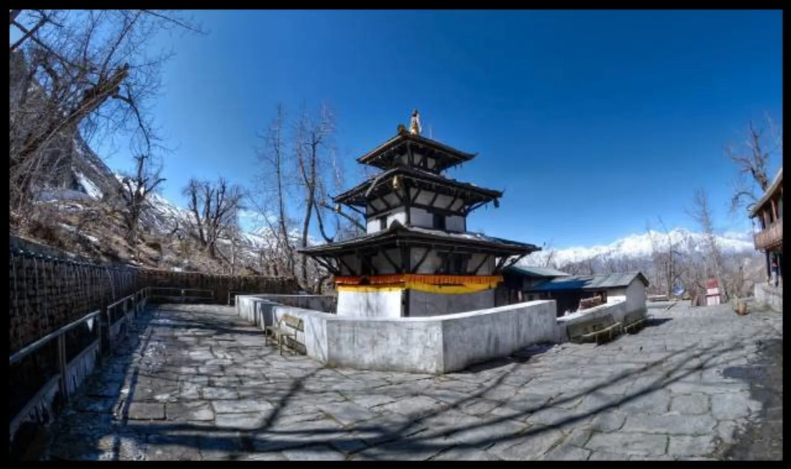
Complete Guide to Muktinath (Muktikshetra): The Ultimate Pilgrimage in Nepal
Muktinath, known traditionally as Muktikshetra (the site for salvation), stands as one of the most spiritually profound, historically rich, and visually breathtaking pilgrimage destinations in the world.
-
Guide for the Gangotri to Gaumukh Alpine Route (2026 Season)
The high-altitude corridor connecting the holy town of Gangotri to the glacial snout at Gaumukh
-
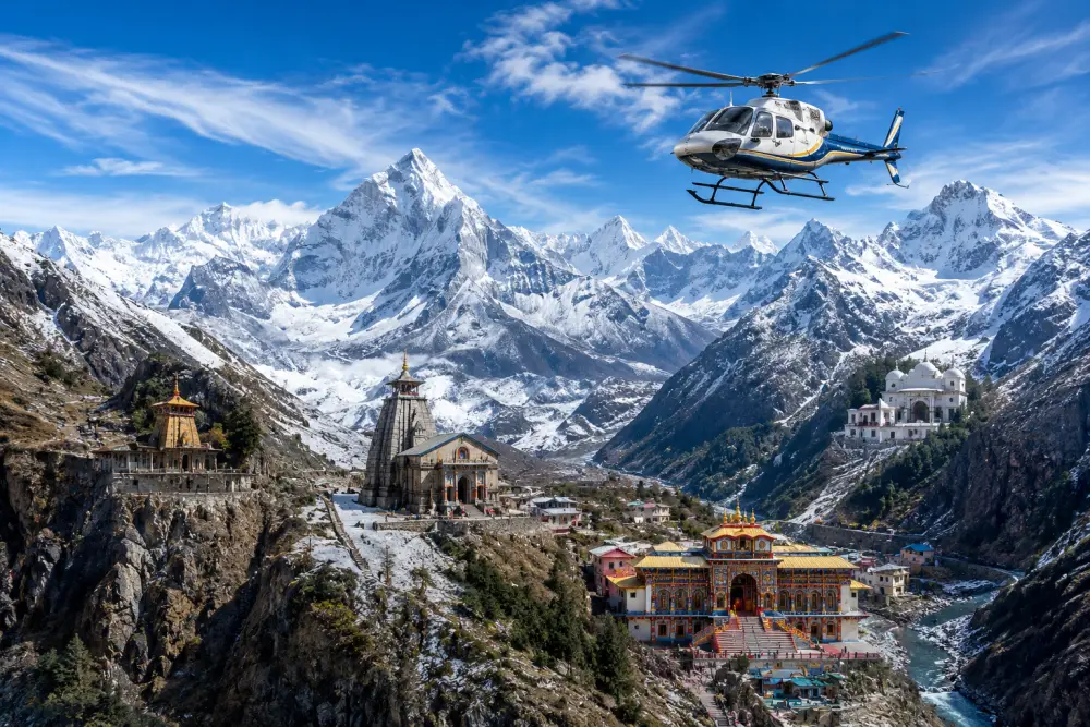
Kedarnath Yatra by Helicopter via IRCTC HeliYatra
Shri Kedarnath Dham, located at an altitude of 3,583 meters (11,755 feet) above sea level in the Rudraprayag district of Uttarakhand, stands as one of the most revered Jyotirlingas in the Garhwal Himalayas.