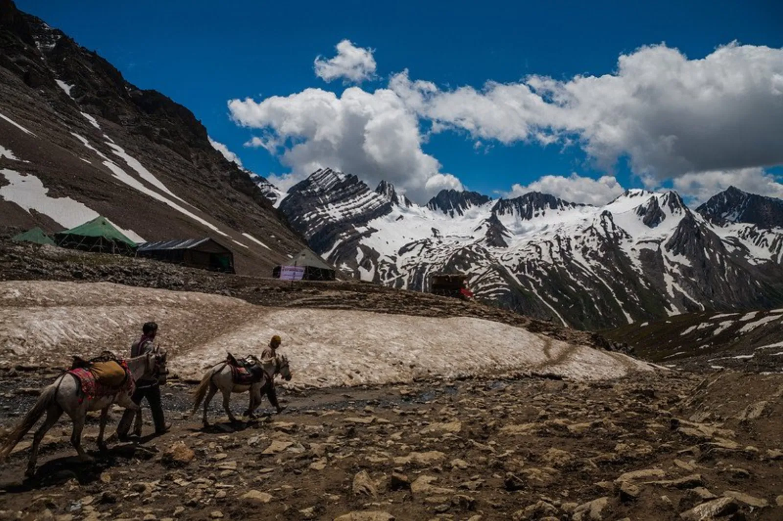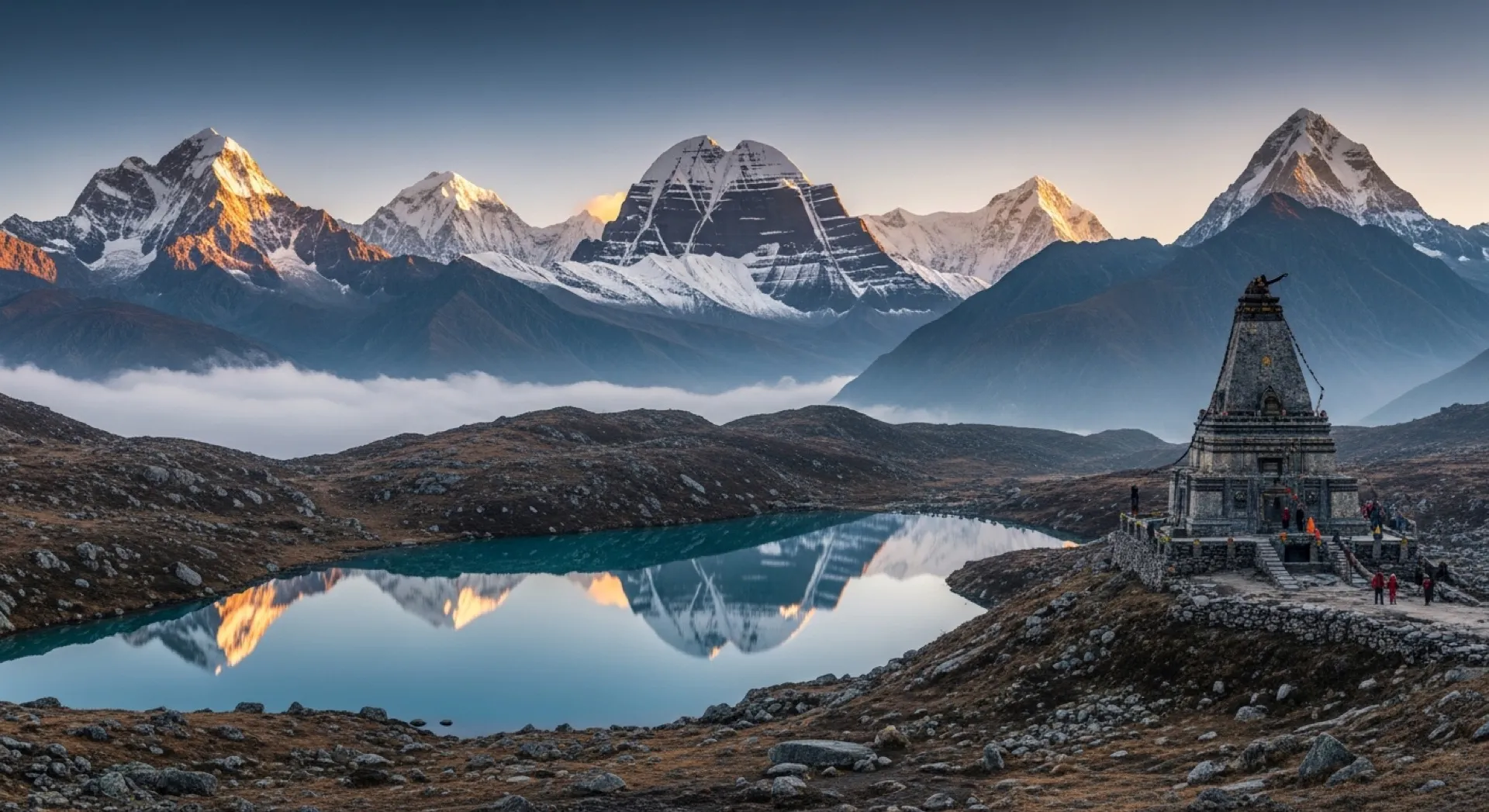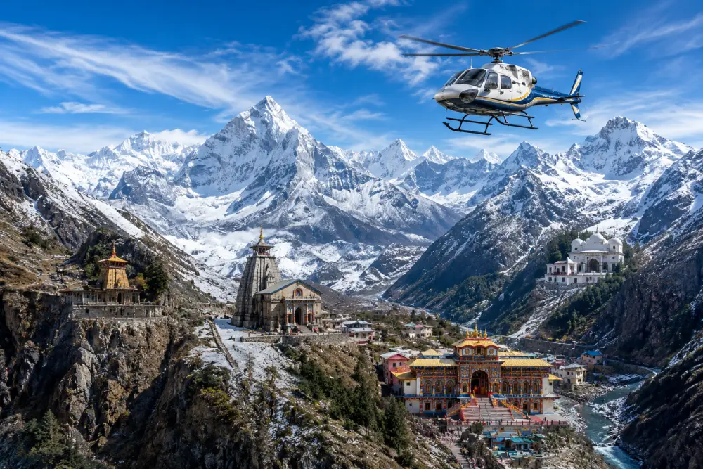

Himalayan & Mountain Shrines
Manimahesh Kailash Trek Guide
In-Depth Analysis of the Manimahesh Kailash Pilgrimage: Geography, Culture, Routes, and Logistical Infrastructure
 By Prerak "प्रेरक"
16 min read
By Prerak "प्रेरक"
16 min read

Introduction and High-Altitude Geography
The Manimahesh Kailash trek, also known as the Manimahesh Yatra, is one of the most culturally significant and geographically demanding high-altitude pilgrimage corridors in the Western Himalayas. Situated in the Chamba district of Himachal Pradesh, this mountain region centers around the sacred Manimahesh Kailash Peak, which stands at an altitude of 5,653 meters (18,547 feet).
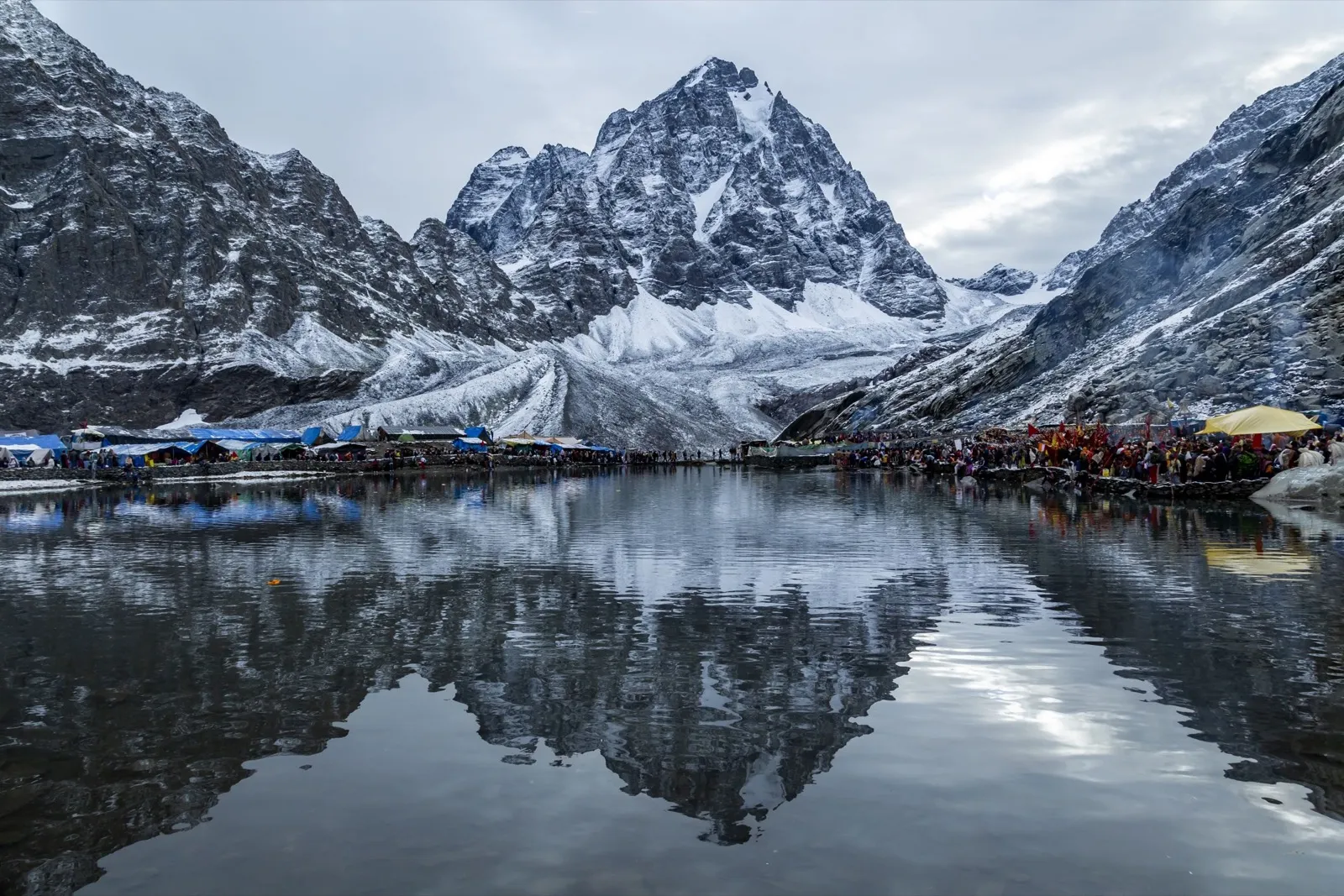
At the base of this peak lies the holy Manimahesh Lake (locally known as Manimahesh Dal Lake), a high-altitude glacial body of water positioned at approximately 4,080 meters (13,390 feet) above mean sea level. Within Sanātana Dharma, the region is revered as one of the sacred "Panch Kailash" (the five earthly abodes of Lord Shiva). It is widely considered the second holiest lake in Hindu cosmology, surpassed only by Lake Mansarovar in Tibet.
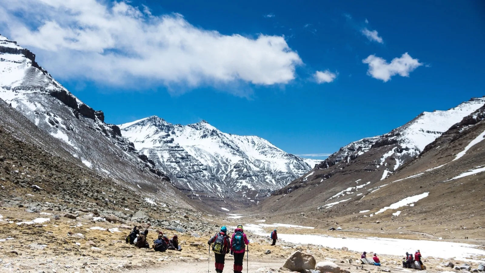
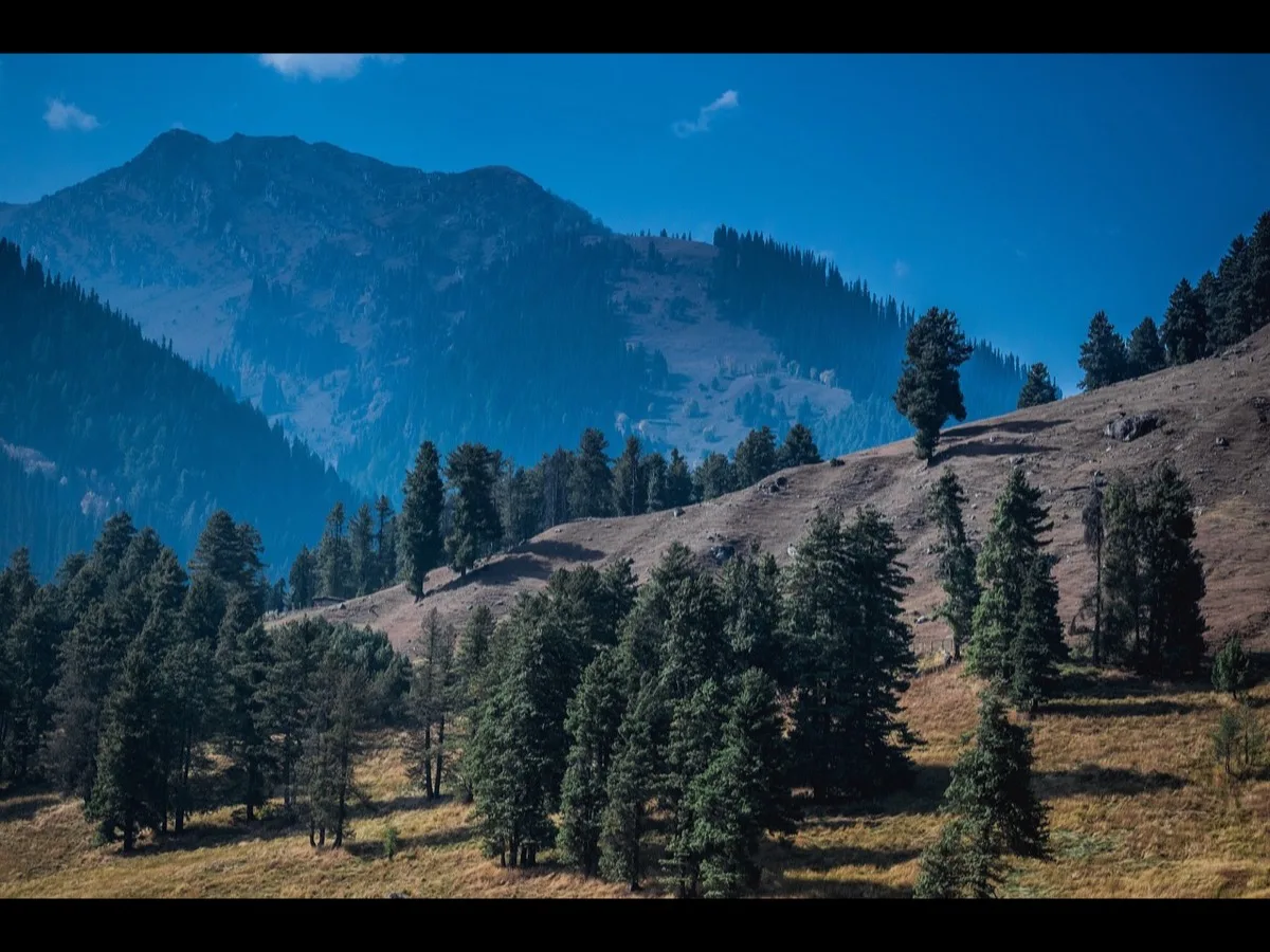
The physical geography of the Pir Panjal and Dhauladhar ranges dictates the environmental and structural conditions of this trekking corridor. The steep climbs transition rapidly from lower Himalayan pine forests to barren alpine rock fields and glaciers.
To provide a clear spatial reference for travelers and planners, the altitudes and geographical coordinates of the primary transit stations are structured below:
| Transit Station | Altitude (Meters) | Altitude (Feet) | Primary Geographical Character |
| Bharmour (Base Town) |
2,190 m |
7,252 ft |
Mid-altitude valley, cultural hub, gateway town. |
| Kugti Village |
2,600 m |
8,530 ft |
High-altitude tribal settlement, wooden architecture. |
| Hadsar (Trailhead) |
2,280 m |
7,480 ft |
Valley floor, junction of Budhil River, road-head. |
| Dhancho (Stage 1 Halt) |
3,170 m |
10,400 ft |
Flat mountain shelf, waterfall basin, forest boundary. |
| Sundrasi (Stage 2 Halt) |
3,650 m |
11,975 ft |
Sub-alpine meadow, transitional pasture land. |
| Gauri Kund |
4,050 m |
13,300 ft |
Glacial hollow, sacred bathing pool for women. |
| Manimahesh Lake |
4,080 m |
13,390 ft |
High-altitude glacial basin at the foot of Kailash. |
| Alyas (Kugti Base Camp) |
4,100 m |
13,450 ft |
Barren moraine, base shelf for mountain pass crossing. |
| Jotnu Pass (Jot Parvat) |
4,300 m+ |
14,100 ft+ |
High-altitude ridge, dangerous glacial crossing. |
| Manimahesh Kailash Peak |
5,653 m |
18,547 ft |
Unclimbed peak, permanent snow, Shivling rock formation. |
Climatological Windows and Seasonal Viability
High-altitude weather systems in the Chamba region are highly dynamic, limiting the trekking window to a brief period between late spring and early autumn. During the winter months, from November to March, the entire basin is locked under thick sheets of snow, making the lake and the high passes completely unreachable.
The official pilgrimage, locally known as the Manimahesh Yatra, is timed according to the Hindu lunar calendar. The festival period begins on the auspicious day of Krishna Janmashtami (known as the "Chota Snan" or minor bath) and concludes on Radha Ashtami (known as the "Bada Snan" or major bath) during the Hindu month of Bhadon.
The dates shift each year based on the lunar cycle, creating distinct operational windows for safety coordinators, transport providers, and travelers.
| Calendar Year | Official Start Date | Official End Date | Operational Notes & Weather Trends |
| 2022 |
August 12, 2022 |
September 4, 2022 |
High monsoon rainfall, localized trail damage. |
| 2024 |
August 26, 2024 |
September 11, 2024 |
Late August transition, clearing skies, stable trails. |
| 2025 |
August 16, 2025 |
August 31, 2025 |
Mid-August schedule, active monsoon conditions. |
| 2026 |
September 4, 2026 |
September 19, 2026 |
September schedule, dry trails, cool night temperatures. |
To help travelers plan their journey, the month-by-month weather patterns and trail conditions are detailed below:
| Time Period | Weather & Temperature Range | Trail Conditions & Logistics | Safety Assessment |
| April – June |
Summer: 5*C to 22*C |
Snow melt in progress; lower trails clear; high passes remain blocked. |
Moderate: Quiet trails; self-camping required as public camps are not yet set up. |
| July – August | Monsoon: 8*C to18*C |
Heavy rain, thick fog, slippery paths, high risk of landslides. |
High Risk: Regular weather delays; essential to pack high-quality rain gear. |
| Late Aug – Sept |
Post-Monsoon: 2*C to 15*C |
Clear skies, dry trails, stable weather; full public services active. |
Ideal: Best time to visit; highly recommended for families and first-time walkers. |
| October |
Autumn: -5*C to 10*C |
Freezing night temperatures, early winter snow showers. |
Moderate: Only tea stalls remain open; requires winter clothing and self-reliance. |
| Nov – March | Winter: -20C to 0*C |
Thick snow cover; all roads past Bharmour blocked; lake frozen. |
Extreme: Unreachable; dangerous cold and high risk of avalanches. |
Mythological Dimensions and Indigenous Ecology
The spiritual landscape of Manimahesh is shaped by local folklore, tribal history, and classical Hindu mythology. These legends are deeply tied to the physical landmarks of the region.
The Sacred, Unclimbed Peak
Mount Manimahesh Kailash remains a virgin peak. Despite the successful climbing of much higher mountains globally, no human has ever reached its summit. Local tradition holds that the peak is a divine structure protected by spiritual forces, making it off-limits to human foot traffic.
The most famous legend concerns a Gaddi shepherd who attempted to climb the peak with his herd of sheep. According to the story, he was instructed in a dream by Lord Shiva to sacrifice a sheep at every step and forbidden from looking back.
Partway up, he grew confused about the remaining number of his sheep and turned around. He and his entire flock were instantly turned to stone. The jagged, minor rock peaks directly below the main summit are pointed out by locals as the petrified remains of the shepherd and his herd.
A similar legend describes a giant serpent that attempted to crawl up the mountain but was turned to stone, forming a distinct, winding rock pattern on the mountain face.
These myths serve an important ecological purpose. By establishing the mountain as sacred and forbidden, they act as community-enforced conservation tools. This has successfully preserved the fragile high-altitude environment of the peak from the litter, pollution, and erosion associated with commercial mountaineering.
                (5,653m)
                                |
             +------------------+------------------+
             |                                     |

   Minor peaks believed to be              Winding rock formation
   a petrified Gaddi shepherd              representing a snake
   and his flock of sheep.[17]         turned to stone.[17]
             |                                     |
             +------------------+------------------+
                                |

                   Glacial snowfield revered as the
                   deity's play field.
Tribal Identity and Shiva's Seasonal Journey
The native Gaddi tribe shares a close spiritual bond with this landscape. According to local history, Lord Shiva meditated in these valleys for seven hundred years. To protect the local people from the elements, he gave them the traditional Chuhali topi (a pointed woollen cap that mirrors the shape of the Kailash peak), the Chola (a heavy felt coat), and the Dora (a long, hand-woven black cord wrapped around the waist). Because of this divine connection, the Gaddis refer to their home as "Shiv Bhumi" (the Land of Shiva).
This relationship is also reflected in the regional myths surrounding Shiva’s seasonal moves. Locals believe that Shiva spends six months of the year on the peak of Manimahesh and then transfers cosmic authority to Lord Vishnu before descending to the underworld for the freezing winter months. This story directly mirrors the traditional migration patterns of the Gaddi shepherds, who move their herds to lower valleys in autumn and return to the high alpine pastures in summer.
The Legend of Bhasmasur and the Lake's Cleansing
Another key legend involves the demon Bhasmasur, who performed intense penance to please Lord Shiva. Delight by his devotion, Shiva granted him a powerful boon: the ability to turn anyone to ashes simply by placing his hand on their head.
Bhasmasur immediately tried to test this power on Shiva Himself, chasing him through the mountains. Shiva fled and hid within the deep recesses of the earth, eventually emerging at the site of Manimahesh Lake.
To celebrate Shiva's safety and return, pilgrims perform a ritualistic walk across the lake during the Radha Ashtami festival. This act, known as "cutting the lake," symbolically clears the path for the deity, linking physical human movement with spiritual restoration and balance.
The Spiritual Gateway: Bharmour, Bharmani Mata, and Chaurasi Complex
Logistical and spiritual preparations for the journey are centered in Bharmour, an ancient town situated at an altitude of approximately 2,190 meters (7,252 feet), about 60 kilometers from Chamba. Formerly known as Brahmpura, Bharmour serves as the administrative base and the spiritual gateway for the pilgrimage. Under established religious protocols, a pilgrimage to Manimahesh is considered incomplete without performing specific preparatory rituals in and around Bharmour.
The Cleansing at Bharmani Mata Temple
The first mandatory ritual involves visiting the Bharmani Mata Temple, located on a scenic ridge roughly 4 to 5 kilometers uphill from Bharmour town. According to legend, Bharmour was originally the domain of Goddess Bharmani. When Shiva arrived with his retinue, she agreed to shift her abode uphill on the condition that every pilgrim traveling to Manimahesh must first pay obeisance at her shrine and bathe in her sacred pool (kund).
Taking a dip in the freezing waters of the Bharmani kund acts as a physical and psychological conditioning process. Physiologically, the sudden exposure to cold water triggers a mild vascular shock, initiating rapid acclimatization to the low-temperature, low-oxygen conditions of the upper mountains.
       (2,190m)
                  |
                  +---> (5 km hike/taxi) ---> (2,500m)
                  |                           * Mandatory ritual bath in freezing pool.
                  |
                  +---> (Town Center) ------>
                                              * 84 ancient shrines (7th Century CE).[21]
                                              * Includes the unique Yamraj Temple.[23]
The Chaurasi Temple Complex: A Mandala of Souls
At the heart of Bharmour lies the Chaurasi Temple Complex, a flat, spacious ground containing 84 distinct shrines built approximately 1,300 to 1,400 years ago, primarily during the 7th century CE under King Meru Varman (with subsequent restorations attributed to Raja Sahil Varman). The name Chaurasi (meaning eighty-four in Hindi) commemorates 84 Siddhas (highly evolved yogis) who traveled from Kurukshetra, meditated at this site en route to Manimahesh Lake, and blessed the childless king with heirs.
The complex is laid out as a spiritual mandala, with the magnificent, stone-carved Manimahesh Temple built in the Valabhi-Shikhara architectural style occupying the center. This shrine houses a massive Shivling and serves as the official launch point for the annual pilgrimage procession (holy chhari).
Within the Chaurasi complex, the Yamraj Temple holds a unique position in Hindu eschatology. According to the Garuda Purana and local beliefs, every human soul must visit this temple after death to undergo final judgment. Chitragupta, the divine scribe, presents the ledger of the soul's earthly deeds (karma), and Yamraj pronounces the final destination of heaven or hell.
The temple is said to possess four invisible spiritual doors made of gold, silver, copper, and iron, through which the Yamdoots (messengers of death) escort the soul based on its karmic weight. To mitigate Yamraj's wrath and clean their spiritual slate, thousands of devotees gather at this temple on the auspicious festival of Bhai Dooj.
Traditional Hadsar Route and Step-by-Step Itinerary
The primary trekking route is a 13-to-14-kilometer trail that begins at Hadsar village and ascends through diverse ecological zones to the glacial lake. This route is characterized by a continuous, demanding ascent that transitions from lower Himalayan forests to exposed alpine terrain.
To help walkers pace their journey safely, the trail is broken down into distinct sections below:
| Trail Section | Distance | Time | Difficulty | Key Terrain Features | Facilities & Halts |
| Bharmour to Hadsar |
13 km |
1 hour |
Easy (Drive) |
Narrow, winding gorge road; runs parallel to Budhil River. |
Shared jeeps, security checkpoint, registration desk. |
| Hadsar to Dhancho |
7 km |
4–6 hours |
Moderate |
Gradual forest path, suspension bridges, valley waterfalls. |
Large campsites, free food halls (langars), medical post. |
| Dhancho to Gauri Kund |
6 km |
4–5 hours |
Demanding |
Steep stone staircases; includes the "Shiv Gharat" rock field. |
Emergency tents, basic tea stalls, rescue helpers. |
| Gauri Kund to Lake |
1 km |
1–2 hours |
Steep |
Thin air, barren gravel paths, steep final climb. |
Lakeside tents, temple, emergency oxygen post. |
Detailed 6-Day Transit Itinerary
For families, senior citizens, and first-time walkers, a 6-day itinerary is recommended to allow for proper altitude acclimatization and safety.
- Day 1: Arrival in Pathankot and Drive to Bharmour (180 km / 6–7 Hours): The journey begins at Pathankot Railway Station or Airport. Private vehicles carry travelers through the scenic Chamba Valley along the River Ravi. After checking into a hotel in Bharmour, walkers spend the evening resting to adapt to the elevation.
- Day 2: Acclimatization Hike to Bharmani Mata Temple (6 km / 4 Hours): Walkers complete the mandatory 6-kilometer round-trip trek to Bharmani Temple. They perform the ritual wash in the freezing pool and return to Bharmour to visit the Chaurasi Temple Complex in the evening.
- Day 3: Drive to Hadsar and Trek to Dhancho (13 km Drive + 7 km Trek / 5 Hours): Walkers take a short drive to Hadsar, the end of the motorable road. From here, they begin the gradual climb along the Budhil River. They spend the night in camps at Dhancho (3,170 m), enjoying a warm dinner under the stars.
- Day 4: Trek from Dhancho to Manimahesh Lake via Gauri Kund (7 km / 5 Hours): Starting early to avoid afternoon winds, walkers face the steep, demanding climb. They stop at Gauri Kund for the ritual bath before completing the final climb to the lake. After offering prayers, they check into their lakeside tents.
- Day 5: Descend from Manimahesh Lake to Hadsar and Drive to Chamba (14 km Trek + 60 km Drive): Walkers start their descent early in the morning, enjoying views of the sunrise reflecting off the peak. They return to Hadsar by afternoon and take a vehicle to Chamba town to rest.
- Day 6: Drive from Chamba to Pathankot (120 km / 3 Hours): After breakfast, walkers check out and take a scenic drive back to Pathankot to board their trains or flights home.
Alternative High-Altitude Trails: Kugti Pass and Jalsu Pass
For experienced trekkers and wilderness enthusiasts, two alternative mountain pass routes offer a more remote and challenging journey.
                          [Manimahesh Lake] (4,080m)
                                      ^
         +----------------------------+----------------------------+
         |                                                         |
  * Distance: 38–45 km parikrama.                     * Distance: 40 km crossing.
  * Difficulty: Highly Demanding.                     * Difficulty: Moderate.
  * Terrain: Crevasses, moraine, glaciers.           * Terrain: Gentle alpine meadows.
         ^                                                         ^
         |                                                         |
  [Alyas Camp] (4,100m)                                     (3,433m)
         ^                                                         ^
         |                                                         |
  [Kugti Village] (2,600m)                                  (1,870m)
         ^                                                         ^
         | (Road link)                                             | (Drive)
The Kugti Village Parikrama Route
The Kugti route is a strenuous parikrama (circular crossing) that takes 4 to 5 days, circling the entire base of Mount Manimahesh Kailash. It is highly recommended to hire an experienced local guide from Kugti village, as the high-altitude trails are poorly marked and cross active glaciers.
- Bharmour to Kugti Village: The route begins with a 24-kilometer drive to Kugti, one of the highest inhabited villages in the state. Walkers spend the night in traditional wooden homestays, experiencing local culture and food.
- Kugti Village to Alyas Base Camp: A 6-to-8-hour hike along mountain streams and birch forests brings walkers to the Alyas Base Camp (4,100 m). Campers set up tents on the open moraine.
- Alyas to Manimahesh Lake via Jotnu Pass: Walkers must leave Alyas by 7:00 AM to cross the Jotnu Pass (also known as Jot Parvat) before 10:00 AM, as rising temperatures make the glaciers unstable and prone to rockfalls.
- After climbing through Ganesh Kund and the sacred "Dham Ghodi" rock, walkers descend across a glacier to reach Manimahesh Lake.
The Jalsu Pass Route
The Jalsu Pass route is a gentle, highly scenic alternative that connects the Kangra Valley to the upper Ravi Valley in Chamba, historically used by Gaddi shepherds. It is categorized as a moderate trek and is accessible from March through November.
- Day 1: Baijnath to Uttralla (Drive) to Bankuddu (Trek): The trek begins near the Binwa Hydro Project in Uttralla. Trekkers climb 3 to 4 hours through mountain villages and river valleys to camp at Bankuddu (1,870m).
- Day 2: Bankuddu to Parai: An 8-kilometer hike along the river valleys. Parai (2,398m) is a temporary settlement of Gaddi shepherds.
- Day 3: Parai to Yara Got via Jalsu Pass: Trekkers cross the Jalsu Pass, situated at an altitude of 3,800 meters. The pass is noted for its lush green alpine pastures and wild flowers. The descent leads to Yara Got (3,433m), a grazing flat with multiple water sources.
- Day 4: Yara Got to Surai: A 9-kilometer descent through high-altitude meadows to the village of Surai (2,788m).
- Day 5: Surai to Nayagran to Chamba: The walking trail terminates at Nayagran (2,245m). From here, shared or private vehicles transport trekkers back to Chamba or Pathankot.
Regulatory Guidelines, Safety Codes, and Administrative Rules
To ensure safety and preserve the fragile ecology of the region, the Chamba District Administration enforces strict rules and safety guidelines during the yatra season.
Mandatory Registration and Connectivity Rules
- Registration Process: Online registration is completely mandatory before reaching Bharmour. Travelers must carry a physical printout of their registration slip throughout the trek. The registration fee is a nominal ₹50, payable online or upon arrival.
- Application Limitations: To prevent overloading the system, a single mobile phone number can register a maximum of five people.
- Network Check: Cellular signals are weak or non-existent past Hadsar. BSNL, Jio, and Airtel are the only active operators in the region, and data speeds are slow. Travelers should complete their online registrations well before entering the Bharmour valley.
Health, Age, and Safety Restrictions
- Medical Checkup: All walkers must undergo a physical health check at Base Camp Hadsar. Anyone declared unfit by the medical officers will be turned back.
- Age Limits: Walkers over 75 years of age are prohibited from undertaking the trek.
- Pregnancy Clause: Pregnant women beyond six weeks of pregnancy are strictly barred from the trek for their own safety.
- Trekking Hours: Walking from Base Camp Hadsar before 4:00 AM and after 4:00 PM is strictly prohibited to prevent accidents on dark, slippery mountain trails.
Environmental Code of Conduct
- Zero-Plastic Rule: The use of single-use plastics is strictly banned along the trail. All trash, including empty plastic bottles and food wrappers, must be packed out and disposed of in municipal bins in Bharmour.
- Dal Lake Etiquette: Throwing garbage, dirty clothes, or underwear into the holy lake after taking a ritual dip is strictly prohibited. Bins are installed nearby for proper disposal.
- Flora Protection: Damaging or picking rare high-altitude herbs and alpine flowers is illegal and carries heavy penalties.
- Intoxicants Ban: The consumption of meat, alcohol, and tobacco is strictly prohibited along the entire pilgrimage route to maintain the sanctity of the area.
Helicopter Operations and Financial Logistics
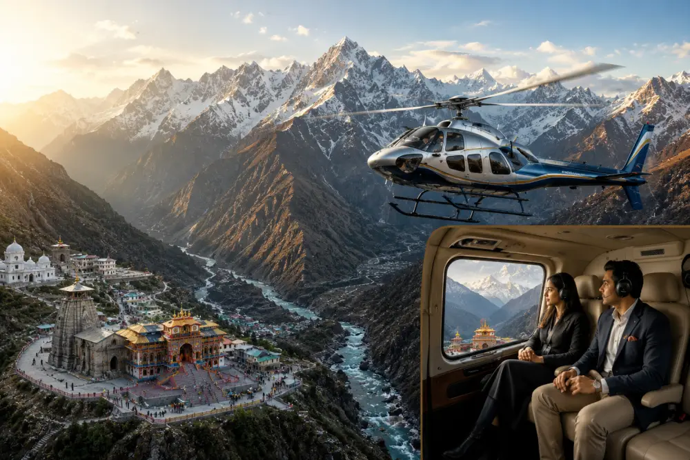
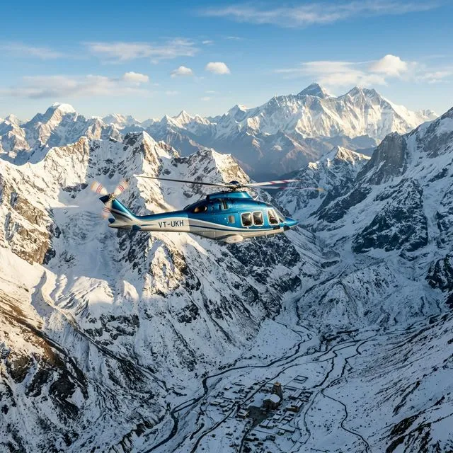
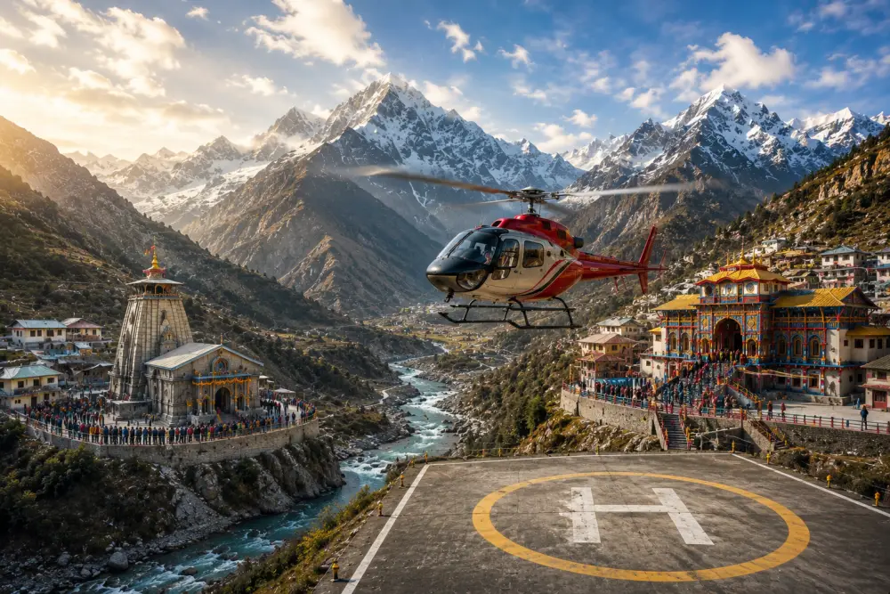
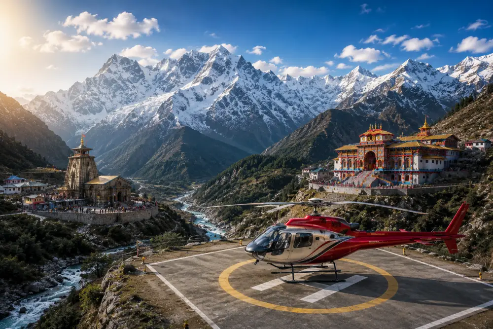
For pilgrims seeking a faster and less physically demanding option, the state government coordinates seasonal helicopter services.
 (7,252 ft)
         |
         +===> (8-Minute Scenic Flight) ===> [Gaurikund Helipad] (13,300 ft)
            |
         +---> (1.5 km Hike / Pony)
             |
        v
      [Manimahesh Lake] (13,390 ft)
Helicopter Flight Parameters
- Operational Route: Helicopters depart from the Bharmour Helipad, located opposite the Civil Hospital in Bharmour (7,252 ft), and fly directly to the Gaurikund Helipad (13,300 ft).
- Flight Duration: 7 to 8 minutes of scenic flight.
- The Transition: Gaurikund is located at a high altitude of 13,300 feet. Because of the rapid ascent, flyers must walk slowly and take frequent rests to avoid sudden altitude sickness. From the helipad, pilgrims must walk or hire a horse for the remaining 1.5 kilometers (about a 60-minute hike) to reach Manimahesh Lake.
- Important Advice: Saree is NOT a suitable dress for the helicopter flight or the high-altitude trek. Female passengers are strongly advised to wear salwar kameez, tracksuits, or pants.
To help travelers budget their journey, the estimated transportation, service, and porter costs are outlined below:
| Service Category | Operational Route | Estimated Cost (Per Person) | Booking & Logistical Considerations |
| Shared Jeep / Bus | Chamba to Bharmour (65 km) |
₹100 – ₹200 |
Most economical option; runs regularly during the day. |
| Private Taxi | Chamba to Bharmour (65 km) |
₹2,000 – ₹2,500 |
Faster transit; highly recommended for families and groups. |
| Shared Jeep | Bharmour to Hadsar (13 km) |
₹50 |
Frequent departures from the main Bharmour market. |
| Private Taxi | Bharmour to Hadsar (13 km) |
₹600 – ₹800 |
Convenient option; drops directly at the trailhead checkpoint. |
| Mule / Pony Ride | Hadsar to Lake (One-Way) |
₹1,000 – ₹1,500 |
Must be booked and registered at the Hadsar trailhead. |
| Mule / Pony Ride | Hadsar to Lake (Return) |
₹2,000 – ₹2,500 |
Includes overnight waiting charges at the lake. |
| Palanquin (Doli) | Hadsar to Lake (One-Way) |
₹4,000 – ₹6,000 |
Carried by local porters; prices vary by passenger weight. |
| Helicopter Ticket | Bharmour to Gaurikund (One-Way) |
₹3,340 |
Book only through www.manimaheshyatra.hp.gov.in. |
| Helicopter Ticket | Round-Trip (Same/Next Day) |
₹6,680 – ₹7,750 |
Overweight surcharge: ₹50–₹100/kg for weight over 85 kg. |
Financial Preparedness: The Cash Mandate
A common planning error is relying too heavily on digital payment apps. Because of the remote, high-altitude terrain, there is no reliable mobile internet on the trails past Hadsar.
There are no ATMs along the trekking route. ATMs are only available in Chamba and Bharmour, and these machines frequently run out of cash during the busy yatra season.
Every traveler must carry at least ₹2,000 to ₹3,000 in physical cash per person to pay for local meals, tea stalls, emergency camps, or pony services along the trail.
Tourism Management Implications
The Manimahesh Kailash Pilgrimage represents a delicate balance between cultural tradition, regional economics, and high-altitude ecology. The local economy of Bharmour is heavily dependent on this seasonal tourist window.
The introduction of regulated helicopter services has successfully made this sacred destination accessible to a broader demographic, including elderly and physically challenged devotees who would otherwise be unable to experience the site.
At the same time, the preservation of rugged, challenging alternative routes like the Kugti Parikrama and Jalsu Pass ensures that the region remains a premier destination for wilderness adventure seekers.
To maintain this balance in the future, administrative bodies must continue to enforce strict waste management protocols and limit visitor numbers during periods of heavy monsoon rain to protect the fragile mountain environment. By combining traditional local values with modern safety and environmental standards, the Chamba valley can continue to preserve the pristine nature of its sacred "Shiv Bhumi" for generations of travelers to come.
Keep Reading
View All Articles-
Legend & Pilgrimage of the Amarnath Cave
Tucked away at the far end of the Lidder valley in the Greater Himalayas, the Amarnath Cave
-
No Fear Is Visible to Faith at Yamunotri
Despite the long, exhausting journey, the fear of being struck by wooden sticks protruding from palakis (palanquins)
-
Shrikhand Mahadev Kailash Yatra
हिमाचल प्रदेश के कुल्लू जिले की गगनचुंबी हिमालयी श्रृंखलाओं में स्थित श्रीखंड महादेव कैलाश यात्रा न केवल भारत के सबसे कठिन पर्वतारोहण मार्गों में से एक है, बल्कि यह सनातन धर्म की गहरी आध्यात्मिक चेतना का जीवंत प्रतीक भी है ।