
Himalayan & Mountain Shrines
The Khundi Mata Trek: Chamba, Himachal Pradesh
The Churah Valley, situated in the northwestern frontier of the Chamba District in Himachal Pradesh
 By Prerak "प्रेरक"
12 min read
By Prerak "प्रेरक"
12 min read

Ecological Architecture of the Churah Highlands
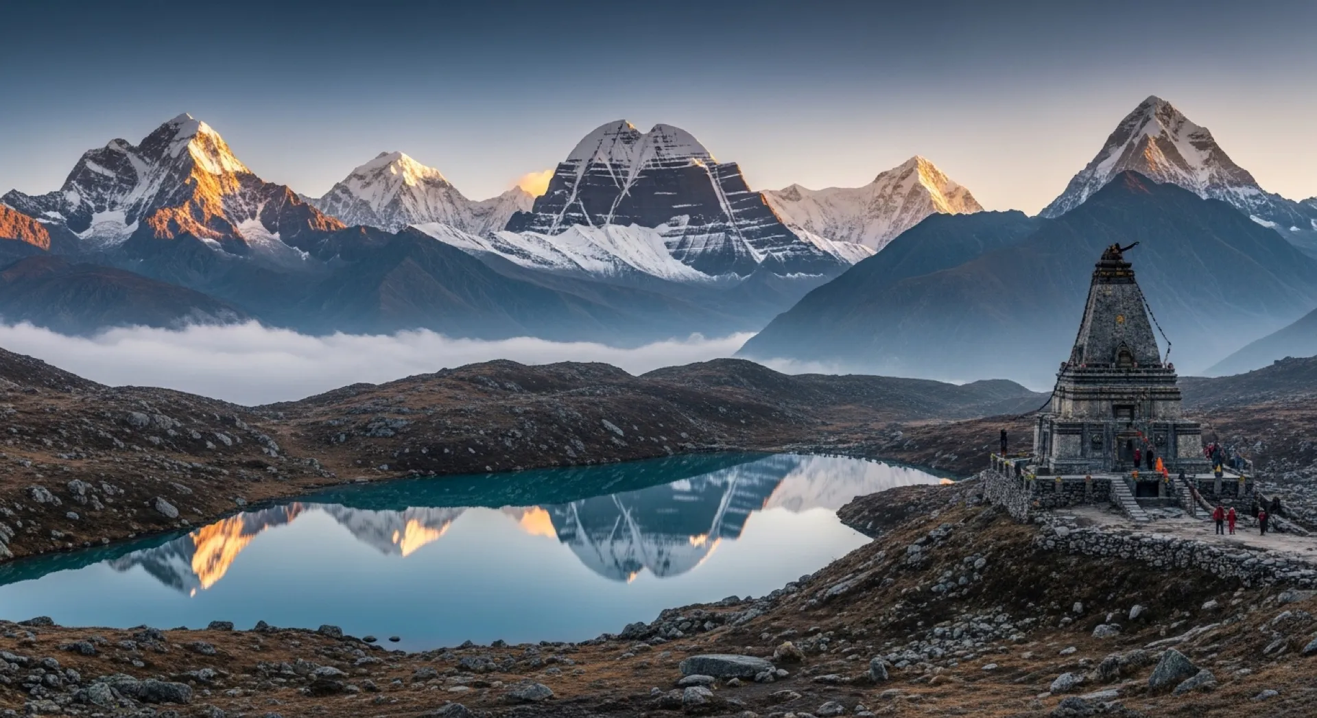
The Churah Valley, situated in the northwestern frontier of the Chamba District in Himachal Pradesh, represents an isolated high-altitude valley system carved between the Dhauladhar, Pir Panjal, and Zanskar mountain ranges. Within this complex orographical junction, the Pir Panjal range dominates the local terrain, acting as a dramatic physical barrier that separates Chamba from the Kashmir Valley to the north and the Lahaul Valley to the east. Perched within the high-gradient ridges of Churah Tehsil lies the Khundi Mata Lake, a glacial tarn situated at an elevation of approximately 3,750 to 3,780 meters (12,300 to 12,401 feet) above mean sea level. Known locally by several overlapping designations including Khundi Marali Lake, Mahakali Lake, and Chaurasi Ka Dal this alpine water body occupies a surface area of approximately 3,000 square meters, with a physical shoreline circumference of roughly 2 kilometers.
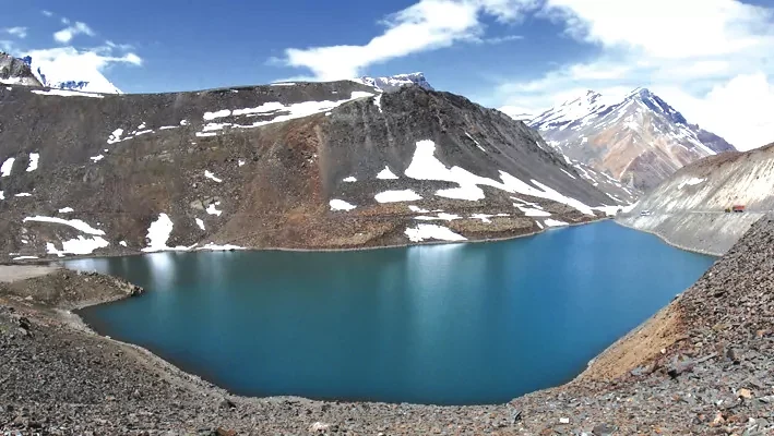
The geomorphology of the lake basin is characterized by its location within a structural bowl at the base of a towering, open-topped peak that resembles a natural geological amphitheater. The basin acts as a high-altitude sink for glacial meltwater and monsoonal precipitation, which subsequently drains down the steep slopes to form the headwaters of the Chanju Nallah. The Chanju Nallah flows southwestward, carving deep gorges before empty into the Ravi River, a major trans-Himalayan tributary of the Indus basin. Due to the severe continental alpine climate of the Pir Panjal range, the hydrological cycle of the lake is strictly seasonal; the water column remains completely frozen for approximately six months of the year, spanning from November to April.
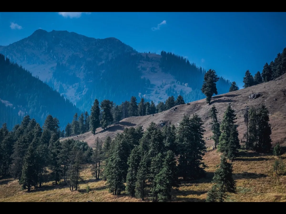
The surrounding ecosystem displays a pronounced altitudinal zonation. At lower elevations, between 2,000 and 2,800 meters, the vegetation is composed of dense temperate forests dominated by deodar, kail, spruce, and blue pine, interspersed with broad-leaved Himalayan maple and chestnut species. As the trail ascends beyond the timberline into the sub-alpine and alpine zones, the forests give way to open meadows, known locally as goths or thachs. Prior to the late summer monsoon, these meadows are blanketed with endemic alpine flora and yellow wildflowers, which provide essential seasonal pastures for domestic livestock and migratory flocks. The final approach to the lake basin requires navigating steep, unstable talus slopes and navigating boulder fields underlaid by subterranean glacial streams.
|
High-Altitude Lake System |
Elevation (m) |
Approx. Surface Area |
Key Hydrological Outlet |
Principal Religious Affiliation |
|
Khundi Mata Lake (Chaurasi Ka Dal) |
3,750 – 3,780 |
3,000 sq. meters |
Chanju Nallah to Ravi River |
Goddess Marali (Kali) |
|
Gadasaru Mahadev Lake |
4,250 |
~2,000 meters (circumference) |
Devi Kothi Nallah to Ravi River |
Lord Shiva |
|
Mahakali Lake (Gadasaru Network) |
4,080 |
~1,500 meters (circumference) |
Devi Kothi tributary |
Goddess Mahakali |
Sacred Cartography, Pastoral Mythology, and Syncretic Rituals
The cultural geography of the Khundi Mata Lake is deeply rooted in the seasonal migration patterns and religious belief systems of the Gaddi shepherds. The etymology of the term "Khundi" is derived from the Gaddi dialect, where khund refers to a sturdy wooden pole driven into the ground to tether domestic cattle, highlighting the ancestral connection between pastoral husbandry and sacred space. The lake and its accompanying open-air stone shrine are dedicated to Goddess Marali, a localized, non-canonical manifestation of Goddess Kali, who is referred to in regional liturgies as Khundi Marali Mata.
In the regional folklore of Chamba, the boundary between the mortal and divine realms is highly fluid. The spiritual history of the primary temple at Chanju village, which serves as the terrestrial base for the high-altitude shrine, is tied to two key legends :
- The Milking Cow and the Stone Linga: Oral tradition states that an elderly Gaddi woman grazed her cow near Chanju. Although the cow was dry and non-lactating, the woman observed the animal standing over a specific rock, spontaneously secreting milk onto the stone. Subsequent excavation by local villagers revealed a sacred stone monument. The woman subsequently experienced a dream-vision wherein the deity revealed herself as Kali. The discovered rock was installed in the central Chanju temple, where it continues to be worshipped as a Shiva Linga, demonstrating the syncretism of Shaktism and Shaivism in the Western Himalayas. The temple’s priesthood is managed by a local lineage that has maintained the sanctuary for over three centuries.
- The Transubstantiation of the Divine Maiden: A secondary legend relates the story of an eight-year-old local girl who walked away from Chanju toward the high lake and never returned. The local communities did not interpret her disappearance as a physical death, but rather as her transition back into her true divine form as Goddess Marali. The annual pilgrimage retraces her path to the alpine tarn to commemorate this event.
These narratives function as a mythic framework that governs pastoral land use. Gaddi shepherds maintain that the precipitous ridges surrounding the lake are the exclusive grazing grounds of the goddess's invisible, celestial flock of sheep. Consequently, shepherds treat the high meadows with extreme reverence, observing strict taboos regarding clean practices and waste disposal to avoid invoking the goddess's wrath, which is believed to manifest as sudden, destructive blizzards or landslides.
The central religious event, the jatar (pilgrimage), is conducted on the first "big" (jyeṭh) Tuesday during the dark half of the Hindu month of Bhadrapada, which typically corresponds to the Gregorian month of August. This pilgrimage occurs several weeks before the globally recognized Manimahesh Yatra. The event draws pilgrims from the Churah, Tissa, and Bharmour valleys. During the pilgrimage, devotees carry family deities on ornate wooden palanquins, and ritual oracles, known as chelas, enter deep trances to speak on behalf of the goddess, resolving local disputes and offering agricultural predictions. The ritual culminates in the afternoon with the presentation of offerings before the lake-side shrine, including the ritual sacrifice of sheep and goats brought by pilgrims.
Structural Trajectories of the Principal Trekking Corridors
The high-altitude basin of Khundi Mata Lake is accessible via four distinct historical routes of varying difficulty, exposure, and logistical complexity.
The Chanju-Churah Corridor (Classic Trail)
The classic and most accessible route does not cross high mountain passes, making it the preferred path for moderate trekking groups and standard pilgrimage parties. The journey starts from Chamba with a bus ride to Nakrod, a regional transit town on the road to Tissa. From Nakrod, a narrow, unpaved mountain road extends approximately 31 kilometers to Chanju village, a transition that requires one to two hours in a high-clearance four-wheel-drive vehicle.
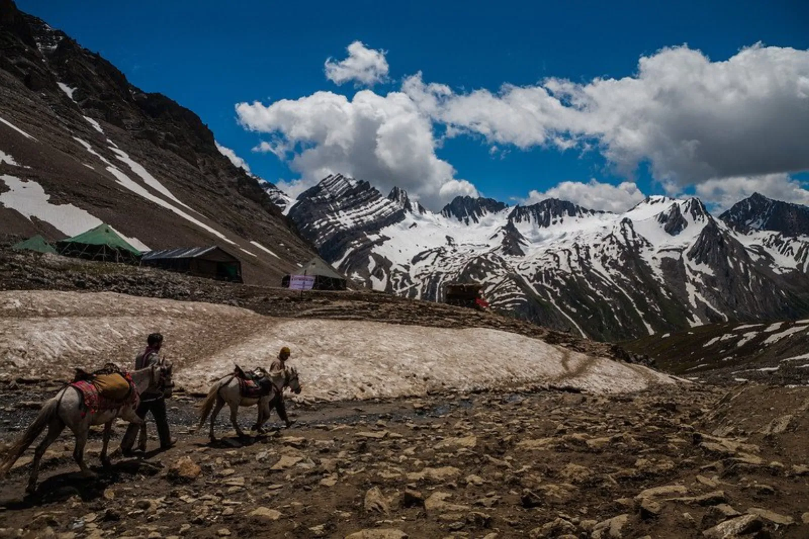
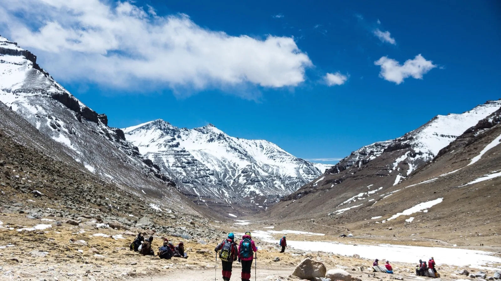
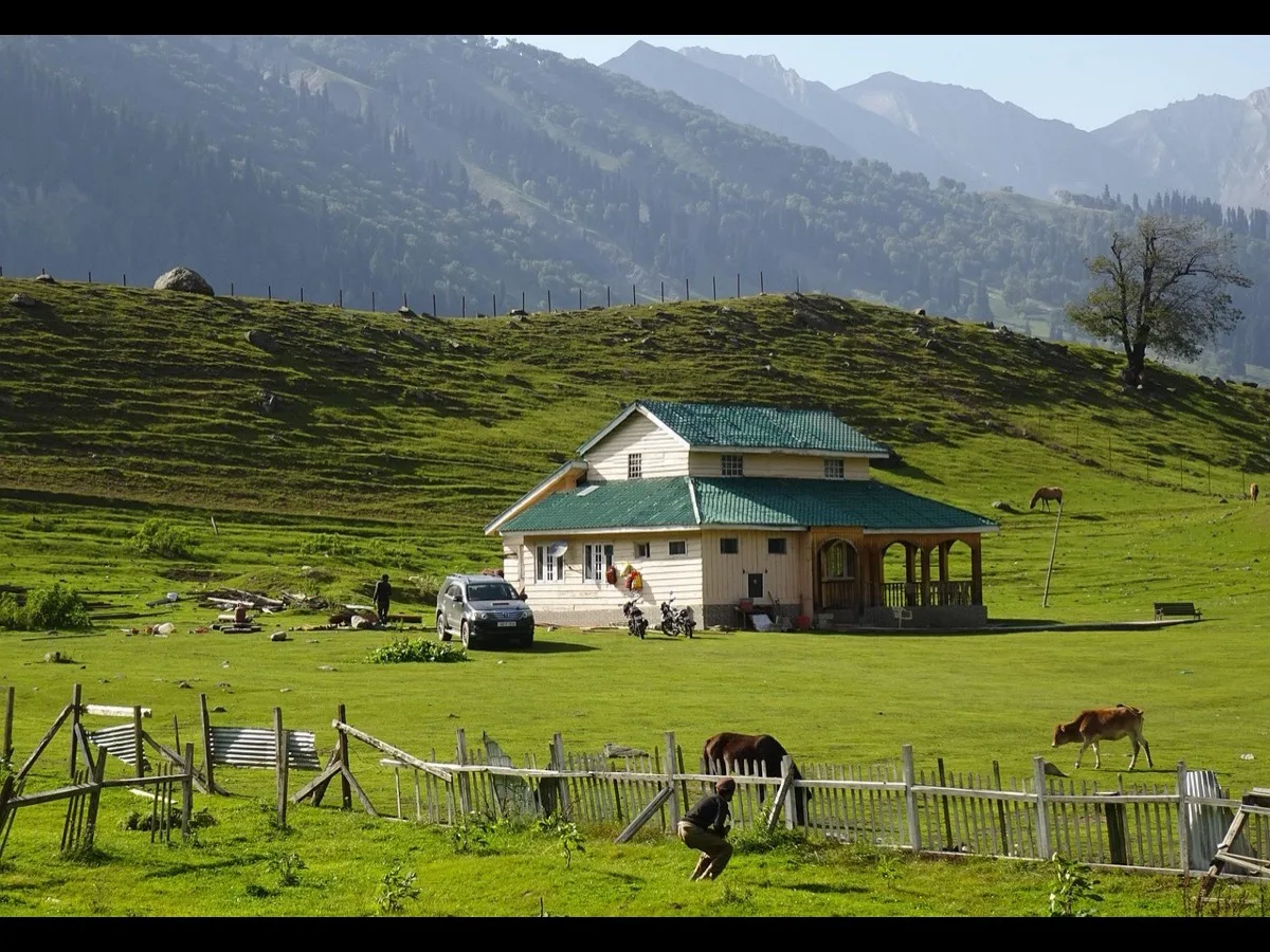
The foot-trek begins in Chanju village, passing an ancient stone fountain at the settlement's entrance and the historic Kali/Marali Temple. The trail enters the forest, ascending past the sod-roofed wooden houses of Dantuin (Dantui) village, where the temple priests reside. Dantui is situated on a high ridge that offers panoramic mountain views and is notable for its historic wooden temple carvings and its position as the starting point for the Darati Pass, which leads into Lahaul-Spiti. From Dantui, the trail continues past off-the-grid seasonal Gujjar pastures into a dense forest of pine, cedar, and maple.
The first day's hike terminates at Riyali Goth, situated 5 kilometers from Chanju. Riyali Goth is an alpine meadow featuring a small stone shrine decorated with piled-up ibex horns, a long wooden rest house (dharamshala) for pilgrims, and seasonal tea stalls established by Chanju villagers. The second day requires a steeper, 4-kilometer ascent from Riyali Goth along the Chanju drain. The trail narrows, navigating rocky ridges, crossing glacial bridges, and scrambling over a large boulder field before entering the depressed bowl of the lake basin.
Commercial itineraries often combine this trek with regional sightseeing. On the journey from Chamba to Dantui, expeditions stop at Chamera Lake for boating and visit the Bhalei Mata Temple. The Bhalei Mata Temple, dedicated to Bhadar Kali, is situated on a 3,800-foot spur in Bhalei. Legend states that the black stone idol was discovered in a dream-vision by Raja Pratap Singh at Bhran village. When returning to Chamba, the palanquin bearers found the idol too heavy to lift at Bhalei, which was interpreted as the goddess's desire to remain at the site. The idol was stolen in 1973 but recovered near the Chohra dam site, and local devotees state that the stone icon has perspired during significant spiritual events ever since.
The Chamba-Saho Pass Route
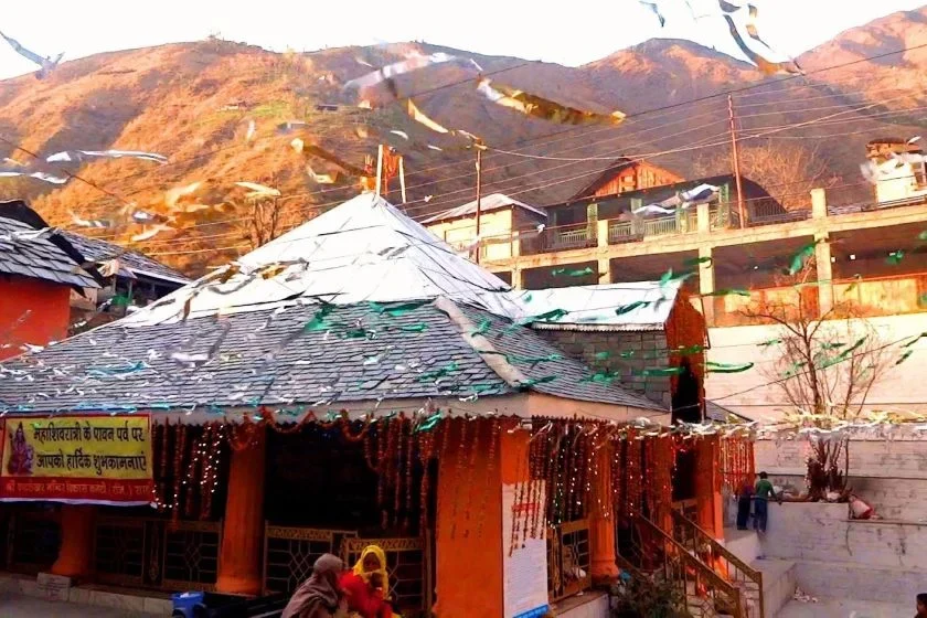
This historic route is favored by local villagers from the Saho valley behind Chamba. The journey begins with a local bus ride from Chamba town to Saho village, followed by shared taxis to Kurtha village. The pedestrian trek begins in Kurtha, climbing through the high meadows of Supeka Dhar. The trail ascends steeply to cross the technical Sia Jot Pass, descending directly into the Mahakali Lake basin. Trekkers often execute this as a loop, descending via the Chanju-Churah corridor to experience the traditional architecture of the Churah villages before returning to Chamba.
The Lilh/Bhelj Pass Route
This trail connects the valleys near Bharmour with the lake basin. The route starts along National Highway 154 A (the Chamba-Bharmour highway) near Dharwala village. The trail departs the highway, ascending a steep valley to cross a high, glaciated mountain pass in the Pir Panjal range before descending into the southern side of the lake basin. This route is primarily used by local shepherds and requires self-sufficient wilderness navigation.
The Chaurasi Challi and Chaurasi Pass Routes
This represents the most strenuous and least-frequented route, used almost exclusively by Gaddi shepherds moving flocks from Bharmour and Luna. The classic pastoral trail, Chaurasi Challi, begins near Thalla village along NH 154 A, crossing a rugged pass. The name "Chaurasi Challi" refers to the eighty-four high-altitude streams and seasonal springs that line the route, which provide water for large flocks of sheep. Local folklore associates these springs with the Pandava brother Bhima, who is said to have struck the ground to create eighty-four water sources to appease eighty-four meditating siddhas (spiritual adepts).
A distinct, highly technical variant is the Chaurasi Ka Dal Wilderness Trek. This 7-to-8-day expedition traverses unmapped territory from Tundah village (2,370 m) to Chanju (1,989 m) over the high Chaurasi Pass (4,508 m). The route requires navigating loose scree, steep rock faces, and high-altitude ridges with no designated trail. It presents risks of acute mountain sickness due to oxygen depletion and wildlife hazards, including encounters with Himalayan brown bears, ibex, and Himalayan tahr.
|
Route Name |
Base Settlement |
Target Pass / High Point |
Distance (One-Way) |
General Difficulty |
Key Landmarks & Features |
|
Chanju-Churah Corridor |
Chanju Village (1,989 m) |
Lake Basin (3,780 m) |
9 km |
Moderate (55% rating) |
Dantui wood carvings, Riyali Goth dharamshala, Chanju Nallah |
|
Chamba-Saho Route |
Kurtha Village |
Sia Jot Pass |
~14 km |
Strenuous / Technical |
Supeka Dhar meadows, Sia Jot Pass descent |
|
Lilh/Bhelj Route |
Lilh / Dharwala |
Southern Pir Panjal Pass |
~18 km |
Strenuous |
Glaciated pass, Bharmour valley views |
|
Chaurasi Ka Dal Trek |
Tundah (2,370 m) |
Chaurasi Pass (4,508 m) |
~22 km (total loop) |
Very Hard |
Unmapped terrain, brown bear habitats, loose scree slopes |
Technical Logistics, Expedition Budgeting, and Safety Frameworks
An expedition into the high-altitude zone of Churah Tehsil requires systematic planning, seasonal coordination, and safety management.
Seasonal Viability
- May to Early June (Early Summer): Lower trails become accessible as the snow line recedes. High-altitude passes like Sia Jot remain blocked by heavy snow, meaning expeditions must rely on the Chanju-Churah corridor.
- July to Early September (Monsoon & Pilgrimage): The Churah Valley experiences a relatively mild monsoon compared to the lower Himalayan ranges, meaning rains are rarely severe enough to halt foot travel. The meadows are green, and the alpine flowers are in full bloom. However, the road from Nakrod to Chanju is prone to landslides, and the final rocky approach to the lake becomes slippery. The annual jatar occurs during this window, providing access to community kitchens (langars) and temporary shelters.
- September to October (Autumn / Post-Monsoon): This is the ideal window for self-supported alpine trekking. The sky remains clear, offering excellent views of the Dhauladhar and Pir Panjal ranges, and the trails are dry. However, temperatures at the campsites drops rapidly, requiring high-grade thermal gear.
- November to April (Winter): The trail is not viable. The lake remains frozen, and the entire basin is buried under heavy snow. High-altitude passes are closed, and there is a significant risk of avalanches and sub-zero temperatures.
Expedition Budgeting
For a standard 5-day expedition starting from Chamba, the projected cost structure can be budgeted based on regional travel rates :
- Transportation: Approximately Rs. 3,000, covering local HRTC bus fares and shared four-wheel-drive taxis (Tata Sumo / Mahindra Bolero) required to navigate the mountain roads from Nakrod to Chanju.
- Accommodation: Budget guesthouses or homestays in Chamba, Saho, or Dalhousie average approximately Rs. 2,500 per night.
- Subsistence: Standard mountain meals and trail food average approximately Rs. 800 per day per person.
- Guiding and Permits: Hiring a local Gaddi guide, along with community porterage and local forest department entry fees, averages approximately Rs. 1,500 for the duration.
|
Budget Category |
Est. Cost (INR) |
Allocation Details |
|
Local Transportation |
Rs. 3,000 |
HRTC bus and shared high-clearance 4WD vehicles |
|
Base Accommodation |
Rs. 2,500 / night |
Standard homestays or budget hotels in Chamba or Saho |
|
Subsistence & Trail Food |
Rs. 800 / day |
Mountain meals, tea, and lightweight trail rations |
|
Guiding & Logistics |
Rs. 1,500 |
Local Gaddi guide, porterage, and regional administrative fees |
Administrative and Safety Protocols
No formal mountaineering permits are required for Indian domestic tourists traveling along the standard routes in Chamba. However, the following safety and administrative protocols are recommended:
- Local Registration: Trekkers should register their names, routes, and expected return dates with the Sub-Divisional Magistrate (SDM) or the local police station in Tissa or Chamba prior to departure.
- Altitude Management: The ascent from Chamba (1,006 m) to the lake basin (3,780 m) represents a significant elevation gain. To mitigate the risk of acute mountain sickness (AMS), expeditions should plan a gradual ascent, utilizing overnight acclimatization camps at Dantui or Riyali Goth.
- Physical Preparedness: The standard trail is rated at 55% difficulty, requiring good cardiovascular fitness and balance to navigate steep, exposed sections near the lake basin.
- Emergency Communications: Mobile network coverage (BSNL, Jio, Airtel) is highly erratic in the Churah highlands, deteriorating completely beyond Saho or Dantui village. Teams should carry satellite communication devices or VHF radios when traversing pass routes and notify base contacts of their daily itinerary.
Socio-Ecological Dynamics and Conservation Dilemmas
The transition of the Churah highlands from an isolated pastoral landscape into an adventure tourism destination has introduced significant socio-ecological challenges. Historically, the high-altitude pastures of Chamba were managed through the traditional resource systems of the Gaddi shepherds. Their seasonal grazing movements prevented the overgrowth of dominant grass species, maintaining the biodiversity of the alpine meadows.
However, the growth of unregulated trekking and pilgrimage tourism has placed ecological pressure on these sensitive environments. The lake basin is situated near the boundaries of the Tundah and Kugti Wildlife Sanctuaries, which protect critical habitats for endangered Himalayan fauna, including the Himalayan brown bear, Asiatic black bear, leopard, ibex, Himalayan tahr, and bird species such as the Monal and Western Tragopan. The introduction of plastic waste, fuel-wood harvesting, and noise pollution along the trails has disrupted wildlife corridors, particularly in the narrow valleys around Riyali Goth and the glaciated passes.
Furthermore, the historical construction of state-sponsored sacred architecture in these frontier valleys highlights a long-standing relationship between religious patronage and political authority. For example, the Devi Kothi Temple in Upper Churah was constructed in 1754 CE by Raja Umed Singh to project royal sovereignty over the northwestern frontier of the Chamba kingdom. This historic strategy of using religious monuments to consolidate regional authority has transitioned in the modern era into state-sponsored tourism development.
To protect the environmental and cultural integrity of the Churah Valley, conservationists advocate for a community-based, low-impact tourism model. By training local youth from Chanju, Dantui, and Saho as licensed guides and establishing community-managed waste management protocols at key campsites like Riyali Goth, the region can generate sustainable economic opportunities. This approach ensures that the high-altitude trails remain preserved, maintaining both the natural ecology of the Pir Panjal range and the sacred traditions of the Gaddi shepherds for future generations.
Keep Reading
View All Articles-
Legend & Pilgrimage of the Amarnath Cave
Tucked away at the far end of the Lidder valley in the Greater Himalayas, the Amarnath Cave
-
No Fear Is Visible to Faith at Yamunotri
Despite the long, exhausting journey, the fear of being struck by wooden sticks protruding from palakis (palanquins)
-
Shrikhand Mahadev Kailash Yatra
हिमाचल प्रदेश के कुल्लू जिले की गगनचुंबी हिमालयी श्रृंखलाओं में स्थित श्रीखंड महादेव कैलाश यात्रा न केवल भारत के सबसे कठिन पर्वतारोहण मार्गों में से एक है, बल्कि यह सनातन धर्म की गहरी आध्यात्मिक चेतना का जीवंत प्रतीक भी है ।